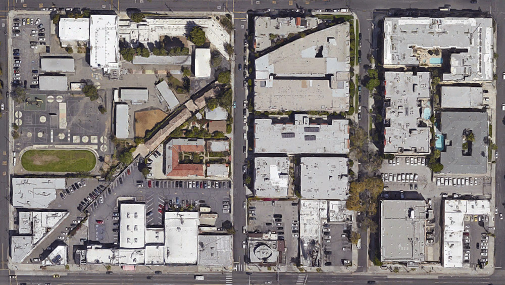
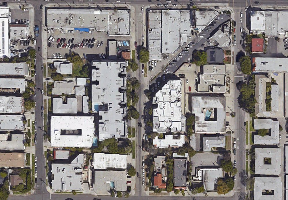
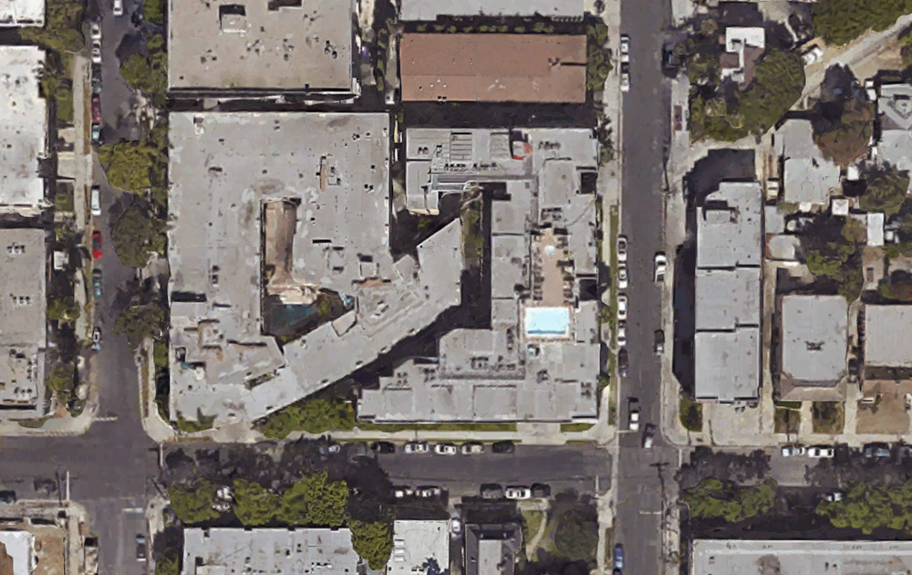
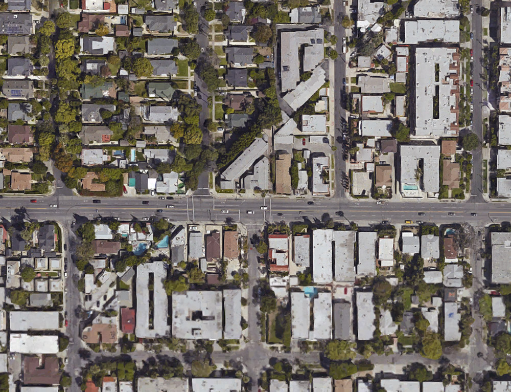
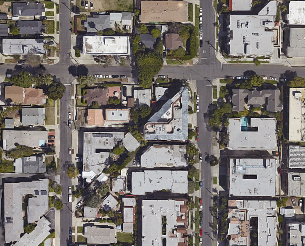
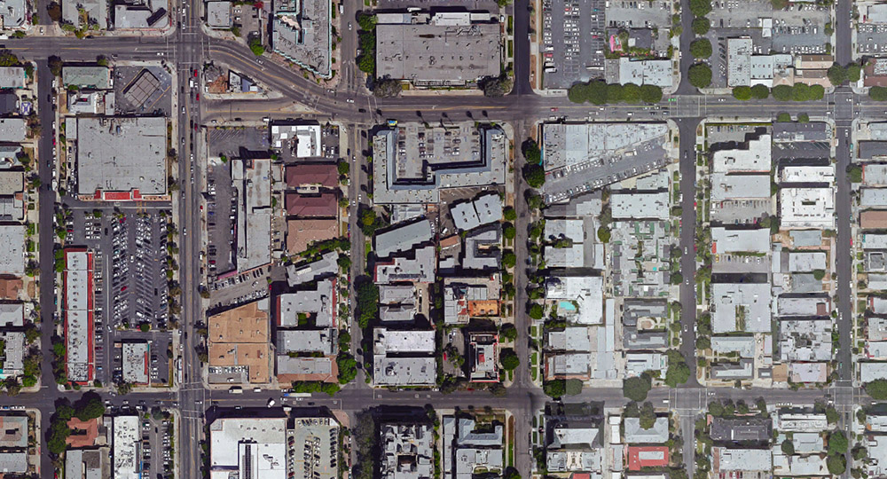
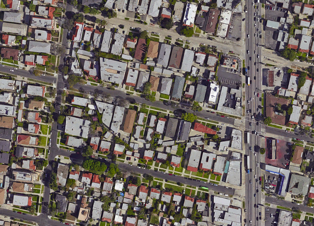
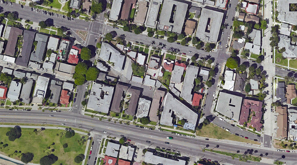
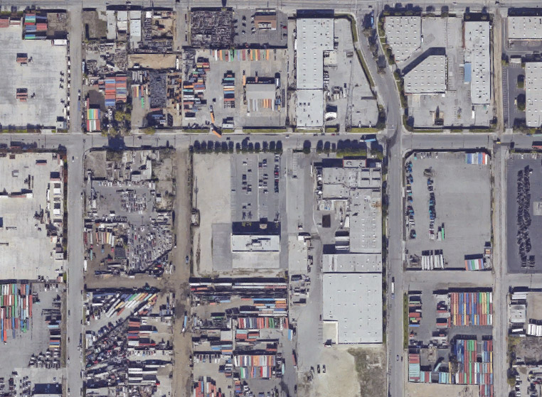
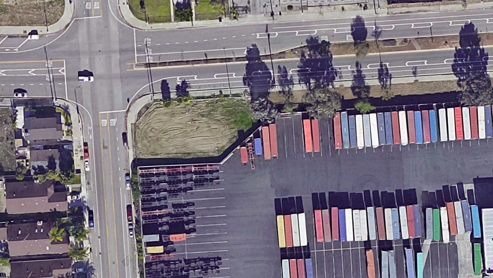
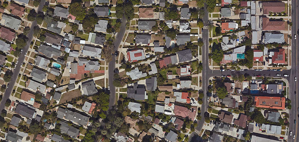
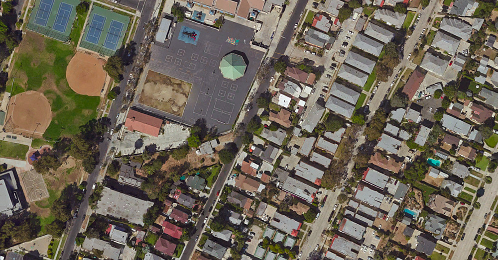
 [Image: From L.A. Recalculated by Smout Allen and BLDGBLOG].
London-based architects Smout Allen and I have a project in the new issue of MAS Context, work originally commissioned for the 2015 Chicago Architecture Biennial and closely related to our project, L.A.T.B.D., at the University of Southern California Libraries.
Called L.A. Recalculated, the project looks at Greater Los Angeles as a seismically active and heavily urbanized terrain punctuated by large-scale scientific instrumentation, from geophysics to astronomy. This is explained in more detail, below.
Between the drawings and the text, it’s something I’ve been very enthusiastic about for the past year or so, and I’m thrilled to finally see it published. I thus thought I’d include it here on the blog; a slightly edited version of the project as seen on MAS Context appears below.
L.A. Recalculated
Commissioned for the 2015 Chicago Architecture Biennial
Los Angeles is a city where natural history, aerospace research, astronomical observation, and the planetary sciences hold outsized urban influence. From the risk of catastrophic earthquakes to the region’s still operational oil fields, from its long history of military aviation to its complex relationship with migratory wildlife, Los Angeles is not just a twenty-first-century megacity.
Its ecological fragility combined with an unsettling lack of terrestrial stability mean that Los Angeles requires continual monitoring and study: from its buried creeks to its mountain summits, L.A. has been ornamented with scientific equipment, crowned with electromagnetic antennae, and ringed with seismic stations, transforming Los Angeles into an urban-scale research facility, a living device inhabited by millions of people on the continent’s westernmost edge.
 [Image: Models from the related project, L.A.T.B.D., by Smout Allen and BLDGBLOG; photo courtesy Stonehouse Photographic].
L.A. Recalculated can be seen as a distributed cartographic drawing—part map, part plan, part section—that takes conceptual inspiration from the book OneFiveFour by Lebbeus Woods. There, Woods describes a hypothetical city shaped by the existential threat of mysterious seismic events surging through the ground below. In order to understand how this unstable ground might undermine the metropolis, the city has augmented itself on nearly every surface with “oscilloscopes, refractors, seismometers, interferometers, and other, as yet unknown instruments,” he writes, “measuring light, movement, force, change.”
In this city of instruments—this city as instrument—“tools for extending perceptivity to all scales of nature are built spontaneously, playfully, experimentally, continuously modified in home laboratories, in laboratories that are homes,” exploring the moving surface of an Earth in flux. Architecture becomes a means for giving shape to these existential investigations.
Twenty-first-century Los Angeles has inadvertently fulfilled Woods’s speculative vision. It is less a city, in some ways, than it is a matrix of seismic equipment and geological survey tools used for locating, mapping, and mitigating the effects of tectonic faults. This permanent flux and lack of anchorage means that studying Los Angeles is more bathymetric, we suggest, than it is terrestrial; it is oceanic rather than grounded.
 [Image: Models from the related project, L.A.T.B.D., by Smout Allen and BLDGBLOG; photo courtesy Stonehouse Photographic].
L.A. is also a graveyard of dead rocket yards and remnant physics experiments that once measured and established the speed of light using prisms, mirrors, and interferometers in the San Gabriel Mountains (an experiment now marked by historic plaques and concrete obelisks). Further, Los Angeles hosts both the Griffith and Mt. Wilson Observatories through which the region achieved an often overlooked but vital role in the history of global astronomy.
Seen through the lens of this expanded context, Los Angeles becomes an archipelago of scientific instruments often realized at the scale of urban infrastructure: densely inhabited, with one eye on the stars, sliding out of alignment with itself, and jostled from below with seismic tides.
 [Image: From L.A. Recalculated by Smout Allen and BLDGBLOG].
—ONE—
The surface of Los Angeles is both active and porous. A constant upwelling of liquid hydrocarbons and methane gas is everywhere met with technologies of capture, mitigation, and control. In our proposal, wheeled seismic creepmeters measure the movement of the Earth as part of an experimental lab monitoring potentially hazardous leaks of oil and tar underground.
 [Image: From L.A. Recalculated by Smout Allen and BLDGBLOG].
—TWO—
The speed of light was accurately measured for the first time just outside this city of sunshine and cinema. Using complex scientific instrumentation assembled from rotating hexagonal prisms, mirrors, and pulses of light, housed inside small, architecturally insignificant shacks in the mountains behind Los Angeles, one of the fundamental constants of the universe was cracked.
[Image: From L.A. Recalculated by Smout Allen and BLDGBLOG].
—THREE—
In the heart of the city, atop the old neighborhoods of Chavez Ravine, erased to make way for Dodger Stadium, we propose a series of 360º planetariums to be built. These spherical projections not only reconnect Los Angeles with the stars, constellations, and distant galaxies turning through a firmament its residents can now rarely see; they also allow simulated glimpses into the Earth’s interior, where the planet’s constantly rearranging tectonic plates promise a new landscape to come, a deeper world always in formation. The destroyed houses and streets of this lost neighborhood also reappear in the planetarium shows as a horizon line to remind visitors of the city’s recent past and possible future.
 [Image: From L.A. Recalculated by Smout Allen and BLDGBLOG].
—FOUR—
As the city changes—its demography variable, its landscape forever on the move—so, too, do the constellations high above. These shifting heavens allow for an always-new celestial backdrop to take hold and influence the city. A complex architectural zodiac is developed to give a new narrative context for these emerging astral patterns.
 [Image: From L.A. Recalculated by Smout Allen and BLDGBLOG].
—FIVE—
Seismic counterweights have long been used to help stabilize skyscrapers in earthquake zones. Usually found at the tops of towers, these dead weights sway back and forth during temblors like vast and silent bells. Here, a field of subterranean pendulums has been affixed beneath the city to sway—and counter-sway—with every quake, a kind of seismic anti-doomsday clock protecting the city from destruction.
 [Image: From L.A. Recalculated by Smout Allen and BLDGBLOG].
—SIX—
All of the oil, tar, and liquid asphalt seeping up through the surface of the city can be captured. In this image, slow fountains attuned to these percolating ground fluids gather and mix the deeper chemistry of Los Angeles in special pools and reservoirs.
 [Image: From L.A. Recalculated by Smout Allen and BLDGBLOG].
—SEVEN—
The endless jostling of the city, whether due to tectonic activity or to L.A.’s relentless cycles of demolition and construction, can be tapped as a new source of renewable energy. Vast flywheels convert seismic disturbance into future power, spinning beneath generation facilities built throughout the city’s sprawl. Los Angeles will draw power from the terrestrial events that once threatened it.
 [Image: From L.A. Recalculated by Smout Allen and BLDGBLOG].
—EIGHT—
Through sites such as Griffith Observatory and the telescopes of Mt. Wilson, the history of Los Angeles is intimately connected to the rise of modern astronomy. The city’s widely maligned landscape of freeways and parking lots has been reinvigorated through the precise installation of gates, frames, and other architectural horizon lines, aligning the city with solstices, stars, and future constellations.
• • •
L.A. Recalculated was commissioned by the 2015 Chicago Architecture Biennial, with additional support from the USC Libraries Discovery Fellowship, the Bartlett School of Architecture, UCL, and the British Council. Special thanks to Sandra Youkhana, Harry Grocott, and Doug Miller.
Meanwhile, check out the closely related project, L.A.T.B.D.. Broadly speaking, L.A.T.B.D. consists of—among many other elements, including narrative fiction and elements of game design—3D models of the architectural scenarios described by L.A. Recalculated.
 [Image: Underground tennis courts in a limestone mine and refrigeration complex in Missouri].
 [Image: Hiking around Cahokia Mounds].
 [Image: Behind these curtains are millions—of square-feet of void].
 [Image: Bandera Volcano, New Mexico].
 [Image: Hiking outside Flagstaff].


 [Image: Via
  [Image: Altered photo of an American front lawn, via
  [Image: “With the success of Pokémon Go, we set out to discover if any of the little monsters were hiding within the walls of our own L.A. Times newsroom.” Were those little monsters digitally trespassing? Photo via the
  [Image: Skid Row, Los Angeles, via
  [Image: “Mysterious upswelling of Opp street above curb, Wilmington (1946),” courtesy

 [Image: Flying with the LAPD Air Support Division; Instagram by BLDGBLOG].
 [Image: Freeways and escape routes; Instagrams by BLDGBLOG].
 [Images: Instagrams by BLDGBLOG].
 [Images: Inside the airship; Instagrams by BLDGBLOG].

 [Image: Watchers; photo by BLDGBLOG].
 [Image: Night flight across the grid; Instagram by BLDGBLOG].
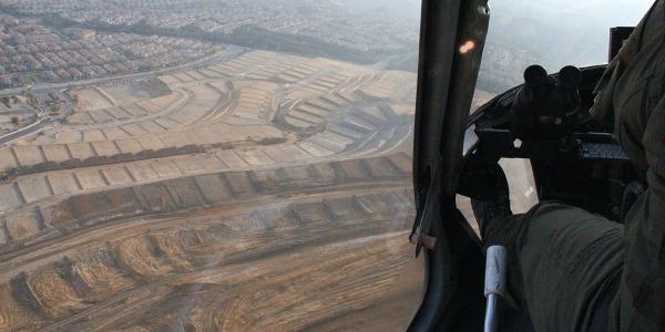
 [Image: Over Porter Ranch and the San Fernando Valley; photos by BLDGBLOG].

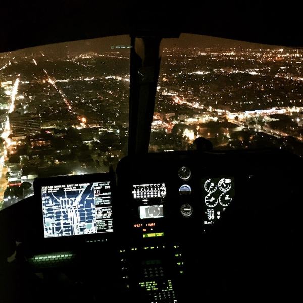
 [Images: Moving maps and binoculars over L.A.; Instagrams by BLDGBLOG].
 [Image: Night flying; photo by BLDGBLOG].
 [Image: Somewhere over the San Fernando Valley; Instagram by BLDGBLOG].
 [Image: Urban horizon lines; Instagram by BLDGBLOG].


 [Images: Night from above; photos & Instagrams by BLDGBLOG].

 [Images: Note the shot of
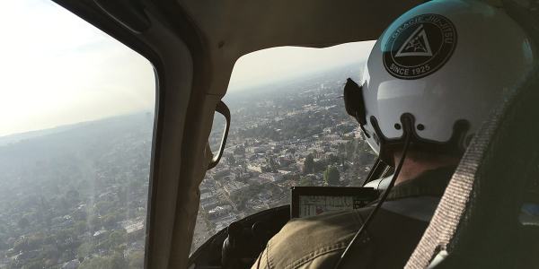

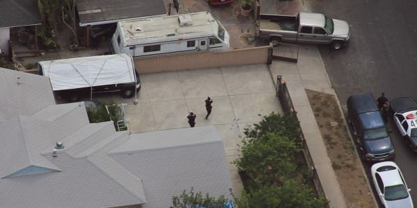


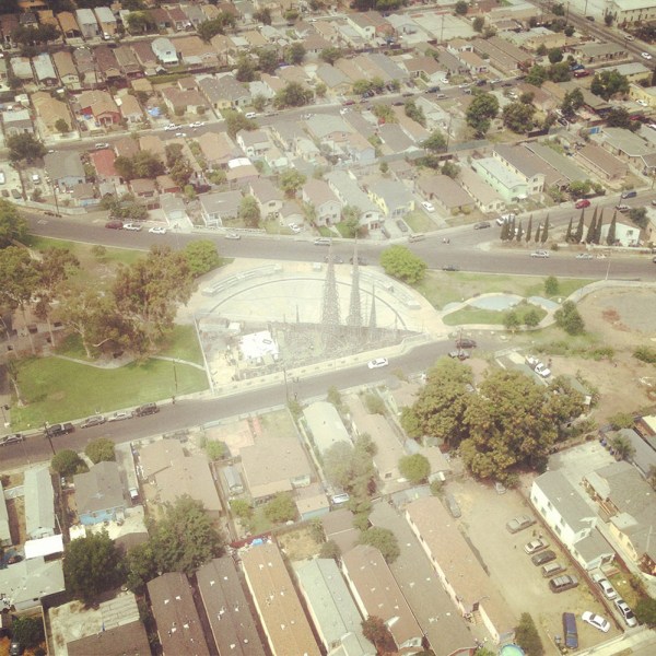
 [Images: Photos by BLDGBLOG, many featuring a home barricade call in Pacoima].
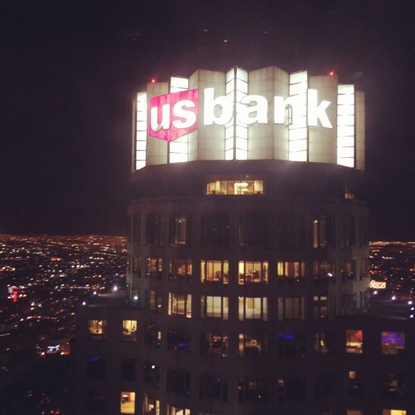
 [Image: Sunset approaching downtown L.A.; cropped Instagram by BLDGBLOG].
 [Image: “Los Angeles Civic Center buildings by Nevada A Bomb blast, 1955,” courtesy
  [Image: “Los Angeles had two dawns yesterday…” from the Los Angeles Examiner, courtesy
  [Image: Via
  [Image: Via
  [Image: Via
  [Image: Via
  [Image: Via
  [Image: Via
  [Image: Via
  [Image: Via
  [Image: Via
  [Image: Via
  [Image: Via
  [Image: Via
  [Image: Via
 [Image: Via the
  [Image: Via the
 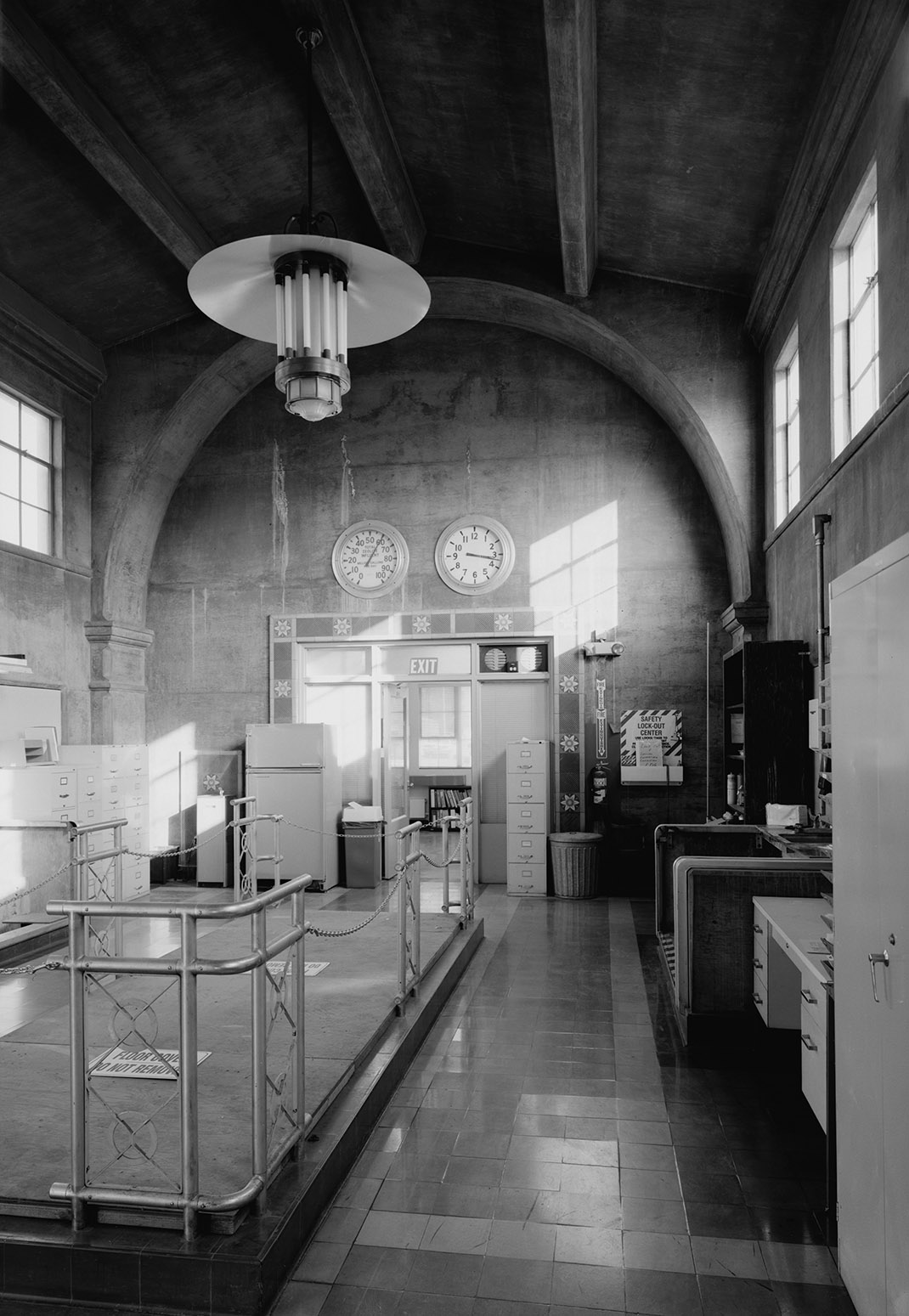 [Image: Via the
 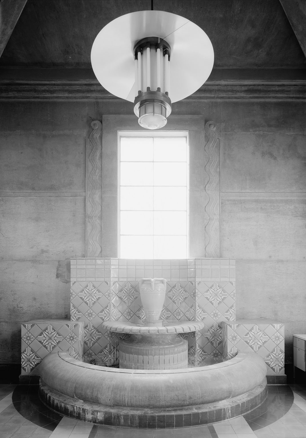 [Image: Via the
 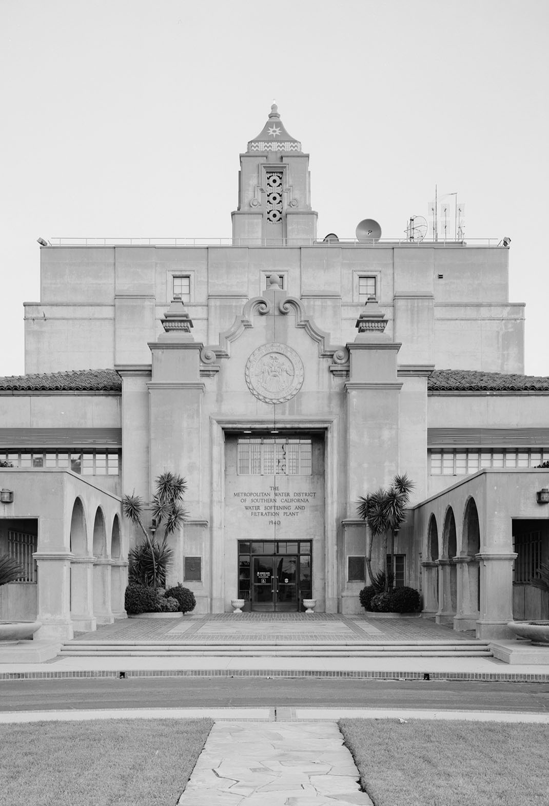 [Image: From the
  [Image: From the
 [Image: From
  [Image: From
  [Image: From
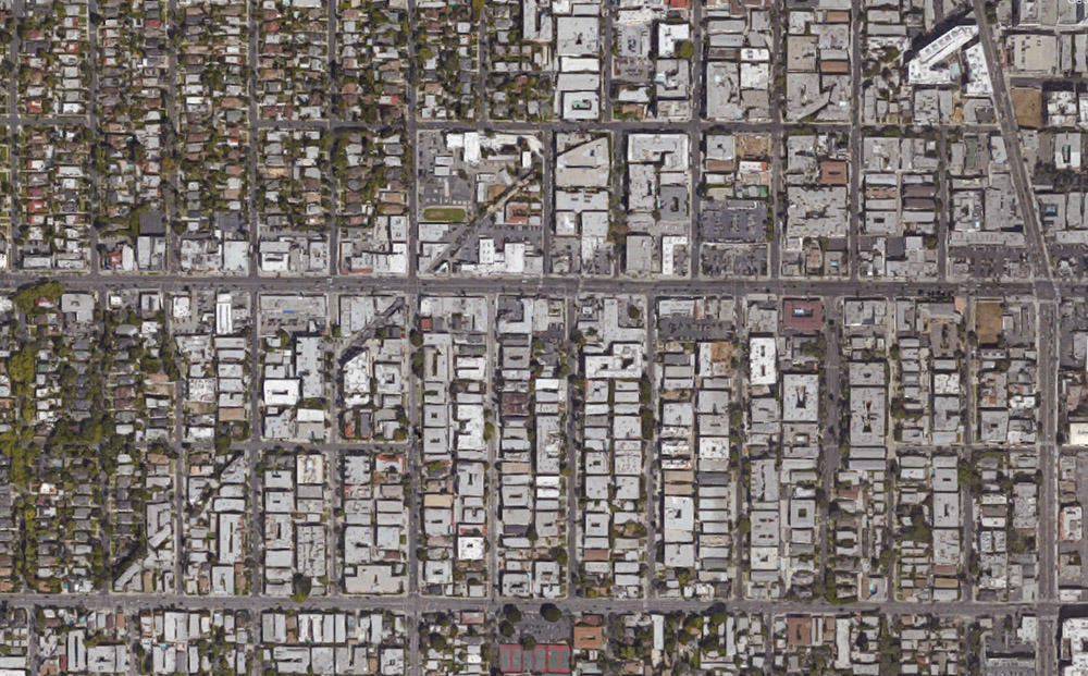