
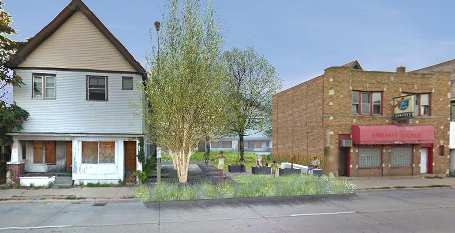
 [Image: Rendering of a possible “BaseTern” landscape by students Brett Harris, Andrew D’Arcy, and Heidi Petersen, via Landscape Architecture Magazine].
Not all the news coming out of Milwaukee involves misguided highway megaprojects or tax-funded crony capitalism—though there is that.
For example, Wisconsin governor Scott Walker—confusing an earlier generation’s urban mistakes with how a city is meant to function—has been plowing billions of dollars’ worth of taxpayer money into “freeway megaprojects” for which “the pricetag got so big that leaders from his own party rejected his plan as fiscally irresponsible, leaving the state budget in limbo,” Politico reports:
As the state has shifted resources into freeway megaprojects, 71 percent of [Wisconsin’s] roads are in mediocre or poor condition, according to federal data. Fourteen percent of its bridges are structurally deficient or functionally obsolete, which is actually better than the national average. Walker and his fellow Republicans have killed plans for light rail, commuter rail, high-speed rail, and dedicated bus lanes on major highways, so there is almost no public transportation connecting Milwaukee to its suburbs, intensifying divisions in one of the nation’s most racially, economically and politically segregated metropolitan areas. Yet Walker, who is running for president as a staunch fiscal conservative, has pushed a $250 million-per-mile plan to widen Interstate 94 between the Marquette and the Zoo despite fierce local opposition.
If that sounds both avoidable and unfortunate, consider the fact that “Walker also killed a ‘Complete Streets’ program that pushed road builders to accommodate bicyclists and pedestrians.”
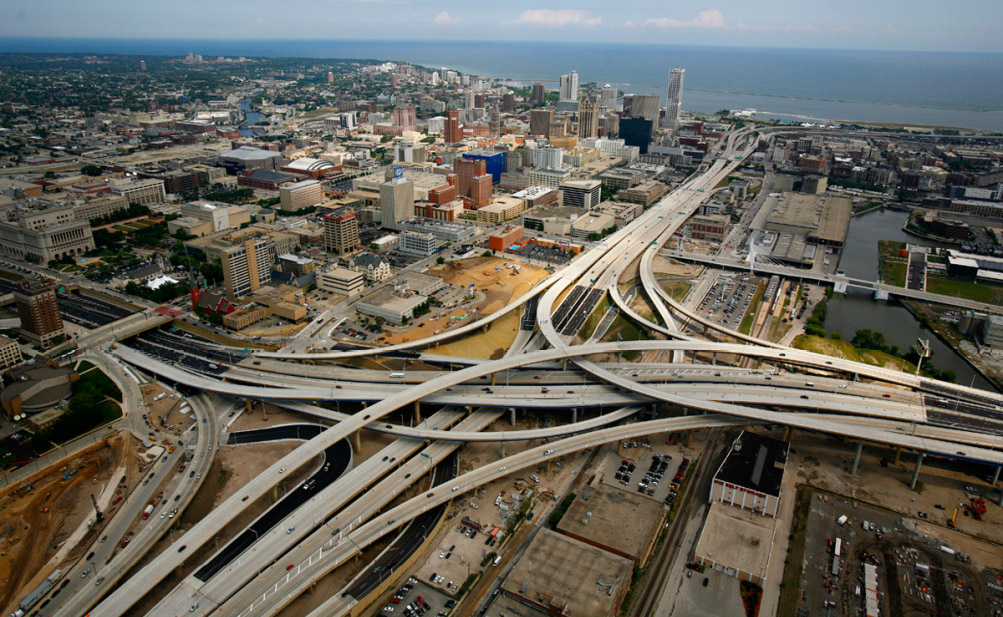
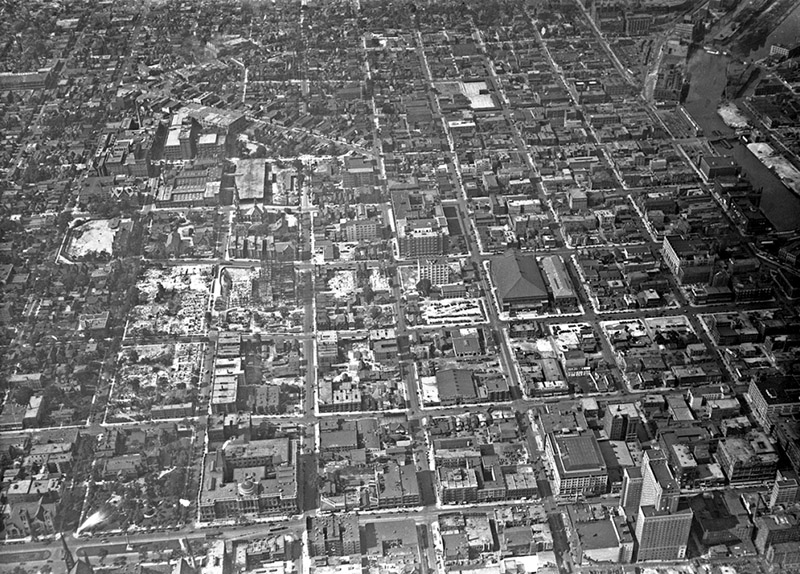 [Images: (top) Milwaukee’s Marquette interchange, nearly the same size as the city it cuts through; (bottom) Milwaukee before the interchange. Images via Politico].
At the same time, Walker has also “championed a high-profile proposal to spend a quarter of a billion dollars of taxpayer money to help finance a new Milwaukee Bucks arena—all while pushing to slash roughly the same amount from state funding for higher education,” the International Business Times reports.
But, hey, why does Wisconsin need universities when everyone can just go to an NBA game? Not that benefitting the public is even Walker’s goal: “One of those who stands to benefit from the controversial initiative is a longtime Walker donor and Republican financier who has just been appointed by the governor to head his presidential fundraising operation.”
In any case, an interesting landscape test-project is currently underway in Milwaukee, called the “BaseTern” program.
As the city explains it, a “BaseTern” is “an underground stormwater management or rainwater harvesting structure created from the former basement of an abandoned home that has been slated for demolition.” Why is the city doing this?
By using abandoned basements, the City saves the cost of demolition on these structures (filing the basement and grading the surface) and on excavation for the new structure. In addition, BaseTerns provide significant stormwater storage capacity on a single site, the equivalent of up to 600 rain barrels.
The result, the city is keen to add, is “not an open pit. Rather a BaseTern is a covered structure, which is covered with topsoil and grass, and will appear the same as conventional vacant lot.”
In their July 2015 issue, Landscape Architecture Magazine explained that this is, in fact, “the world’s first such system.” Conceived—and actually trademarked—by a city official named Erick Shambarger, the idea was inspired by a GIS-fueled discovery that the worst flooding in the city always “occurred in neighborhoods with high rates of foreclosures. The city controls roughly 900 foreclosed properties, many of which it plans to demolish. Shambarger figured the city could preserve the basement structure and put it to use.”
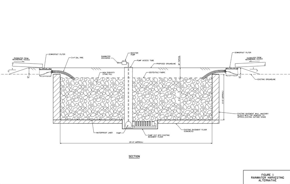
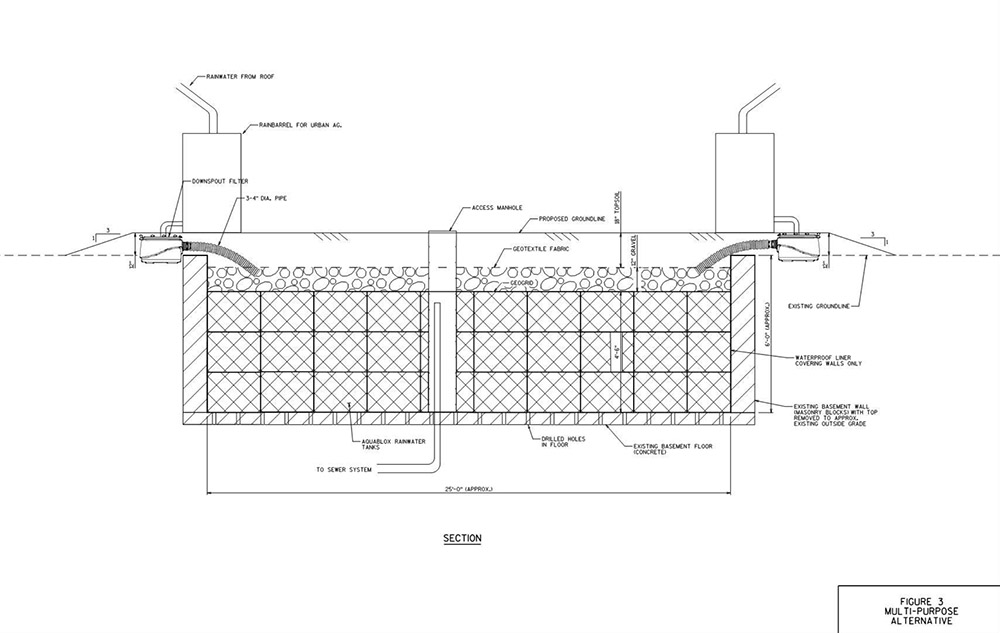 [Images: Two BaseTern design diagrams, taken from Milwaukee’s “Vacant Basements for Stormwater Management Feasibility Study“].
While there is something metaphorically unsettling in the idea that parts of a blighted, financially underwater neighborhood might soon literally be underwater—transformed into a kind of urban sponge for the rest of Milwaukee—the notion that the city can discover in its own economic misfortune a possible new engineering approach for dealing with seasonal flooding and super-storms is an inspiring thing to see.
The BaseTern program also potentially suggests a stopgap measure for coastal cities set to face rising sea levels well within the lifetimes of the coming generation.
In the all but inevitable managed retreat from the coast that seems set to kick off both en masse and in earnest by midcentury—something that is already happening in New York City, post-Sandy—perhaps the subterranean ruins of old neighborhoods left behind can be temporarily repurposed as minor additions to a broader coastal program intent on reducing flooding for residents further inland.
Before, of course, those underground voids—former guest bedrooms, dens, man caves, she sheds, and basements—are inundated for good.
Read more about BaseTerns over at Landscape Architecture Magazine.

 [Image: An otherwise unrelated shot of rebar used in road construction; via
 [Image:
  [Image: One of many malls by Victor Gruen].
 [Image: Victor Gruen gestures at a mall of his making; photo originally via
  [Image: Guy Debord maps psychogeographic routes through Paris; perhaps, all along, psychogeography was just a confused first-person experience of the Gruen transfer on an urban scale].
 [Image: Reviewing old property deeds and land surveys; photo by Geoff Manaugh].
 [Image: More Granville property deeds; photo by Geoff Manaugh].
 [Image: Geographic coordinates for lost roadways; photo by Geoff Manaugh].
 [Image: Zooming into survey descriptions of rods and chains; photo by Geoff Manaugh].
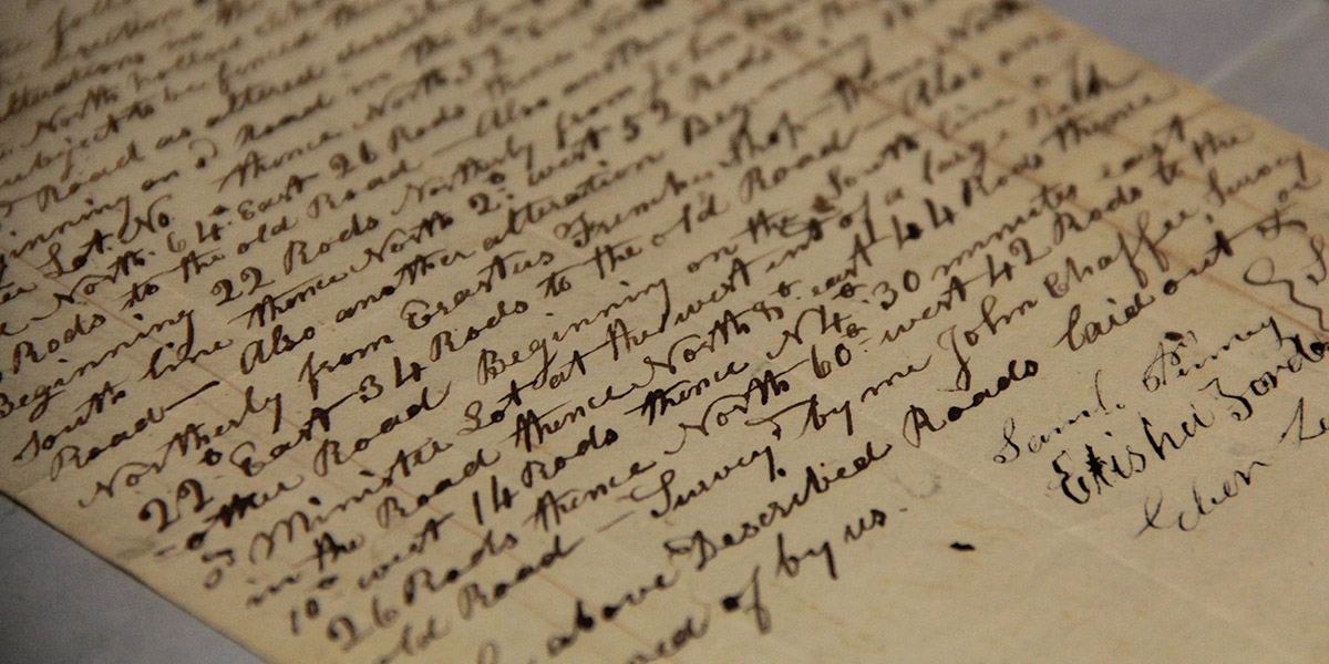 [Image: Ancient road descriptions; photo by Geoff Manaugh].
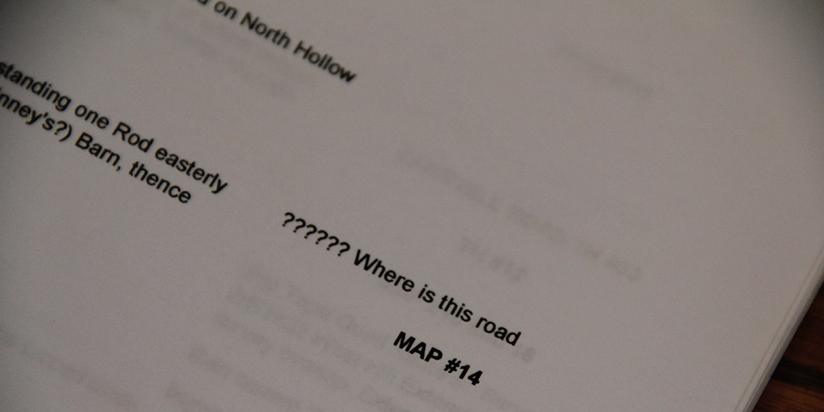 [Image: “?????? Where is this road”; photo by Geoff Manaugh].
 [Image: The Very Low Frequency antenna field at Cutler, Maine, a facility for communicating with at-sea submarine crews].
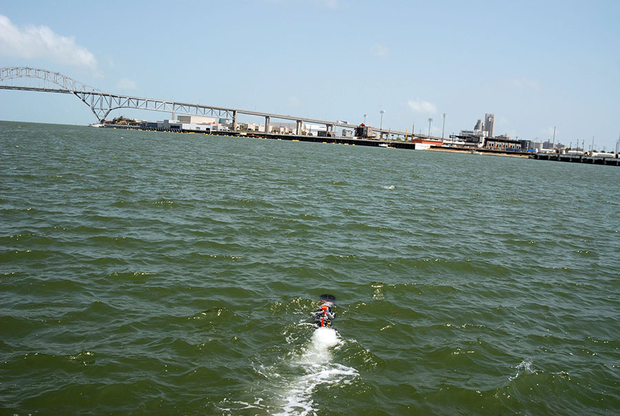 [Image: An unmanned underwater vehicle; U.S. Navy photo by S. L. Standifird].
 [Image: The
 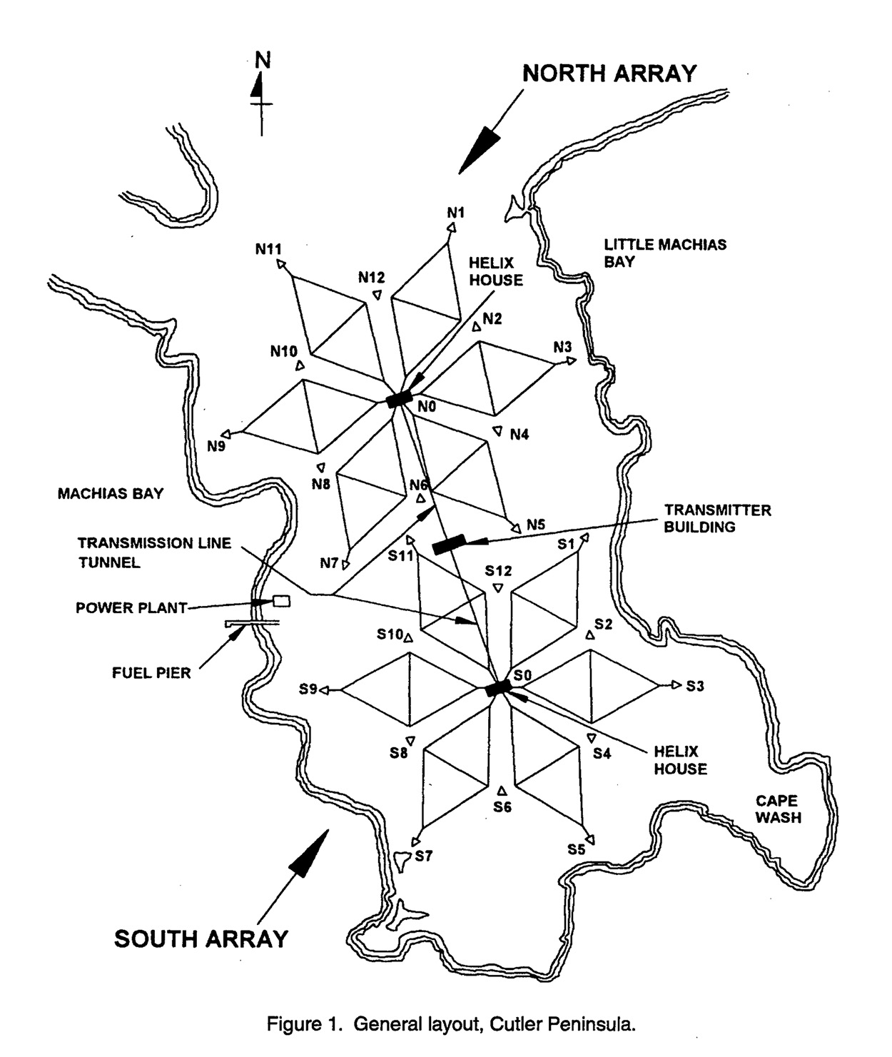 So what does this thing do? “The Navy’s very-low-frequency (VLF) station at Cutler, Maine, provides communication to the United States strategic submarine forces,” a January 1998 white paper called “Technical Report 1761” explains. It is basically an east coast version of the so-called
  [Image: A diagram of the antennas, from the aforementioned January 1998 research paper].
 [Image: Courtesy of
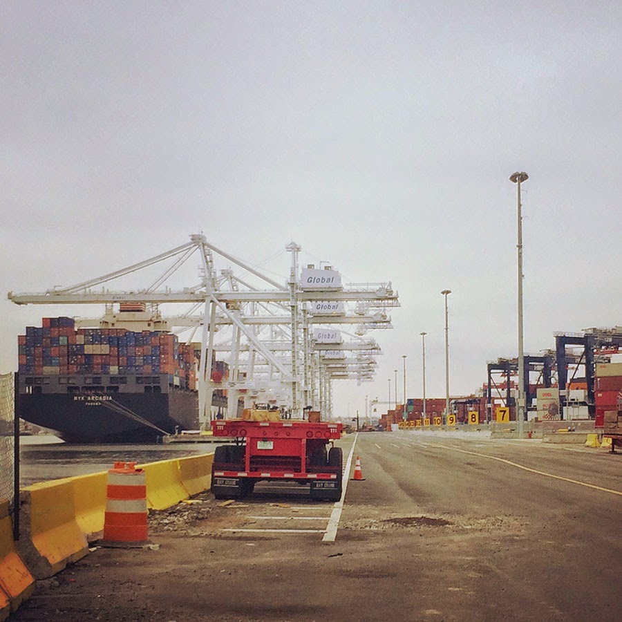 [Image: A view of the
 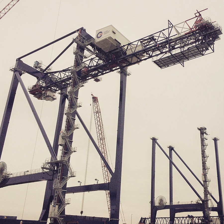 [Image: A crane so large my iPhone basically couldn’t take a picture of it; Instagram by
 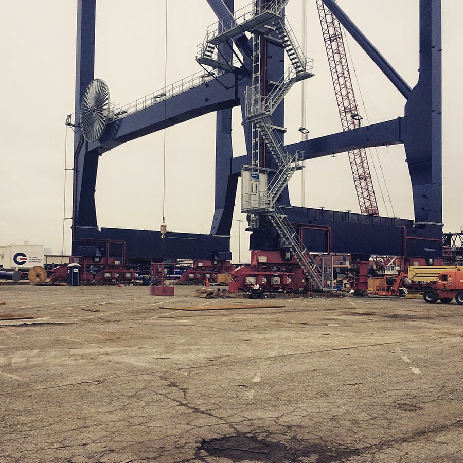 [Images: The bottom half of the same crane; Instagram by
  [Image: Waiting for the invisible hand of Auto Schwarzenegger; Instagram by
 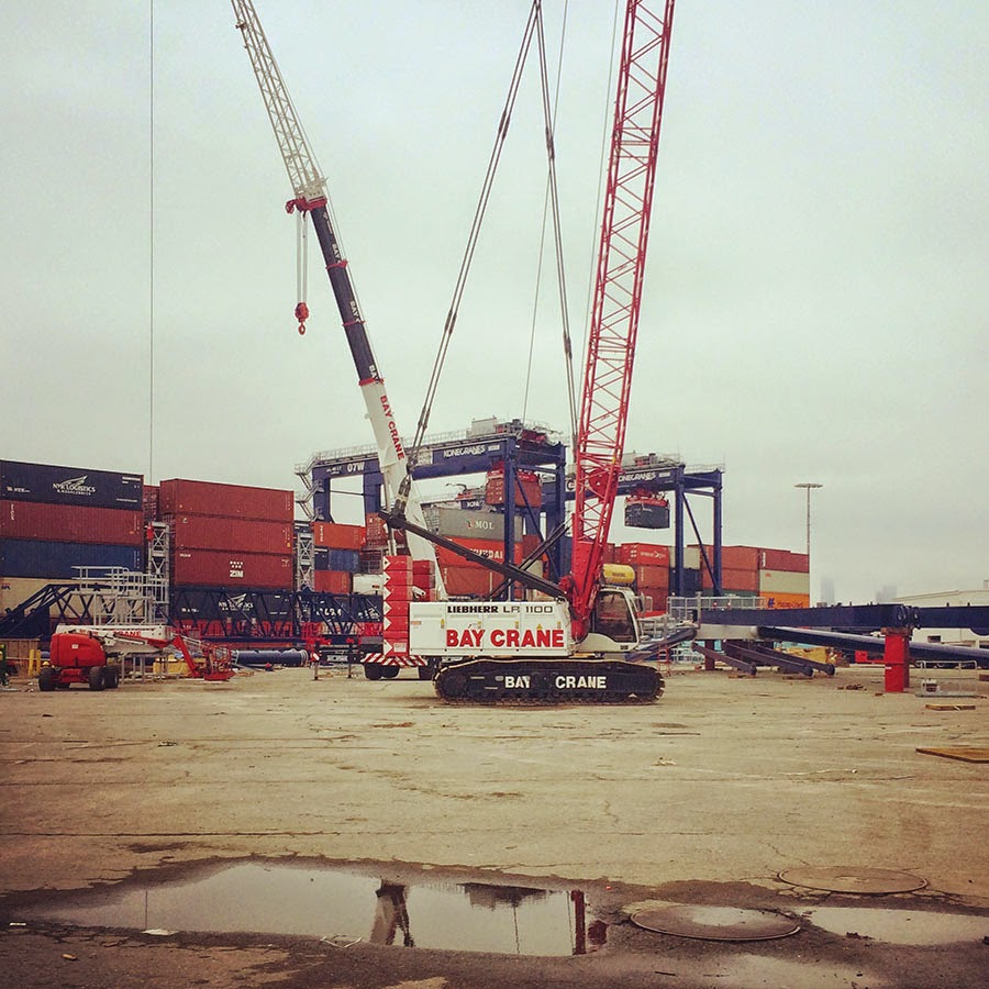 [Image: Out in the acreage; Instagram by
  [Image: One of thousands of stacked walls in the infinite labyrinth of the
 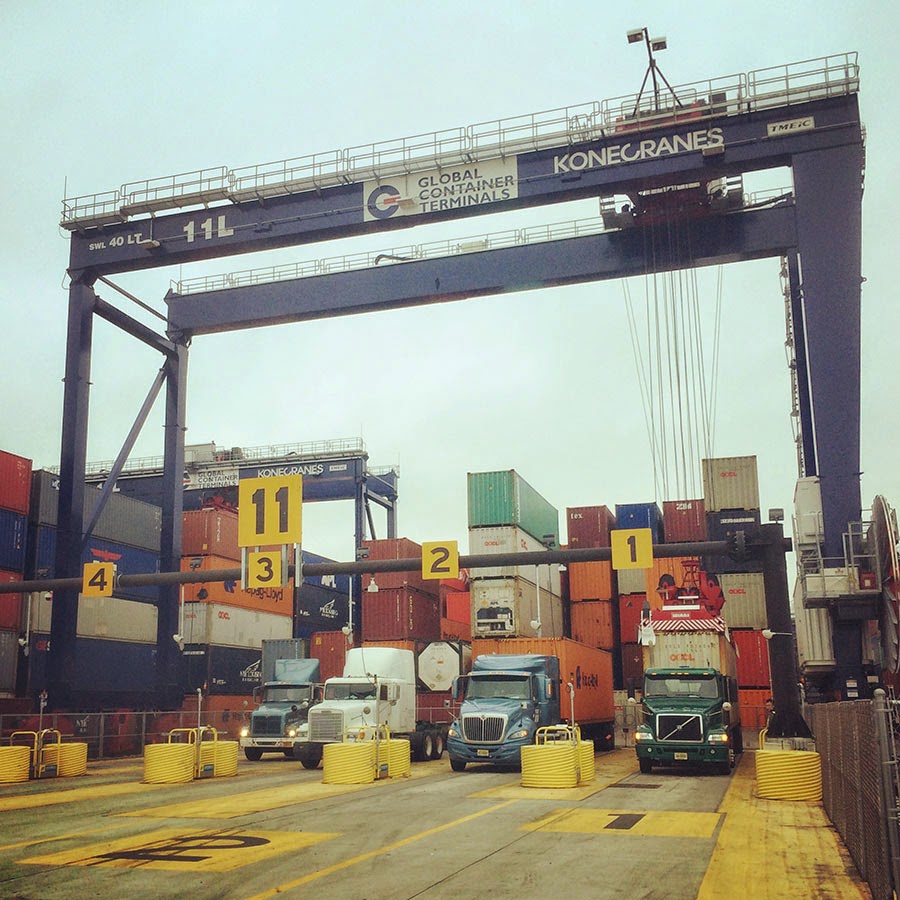 [Image: One of several semi-automated gate stations around the terminal; Instagram by
  [Image: Procession of the True Cross (1496) by Gentile Bellini, via
  [Image: The Container Guide; Instagram by
 [Image: Photo by & courtesy of
 [Images: Photos by & courtesy of
 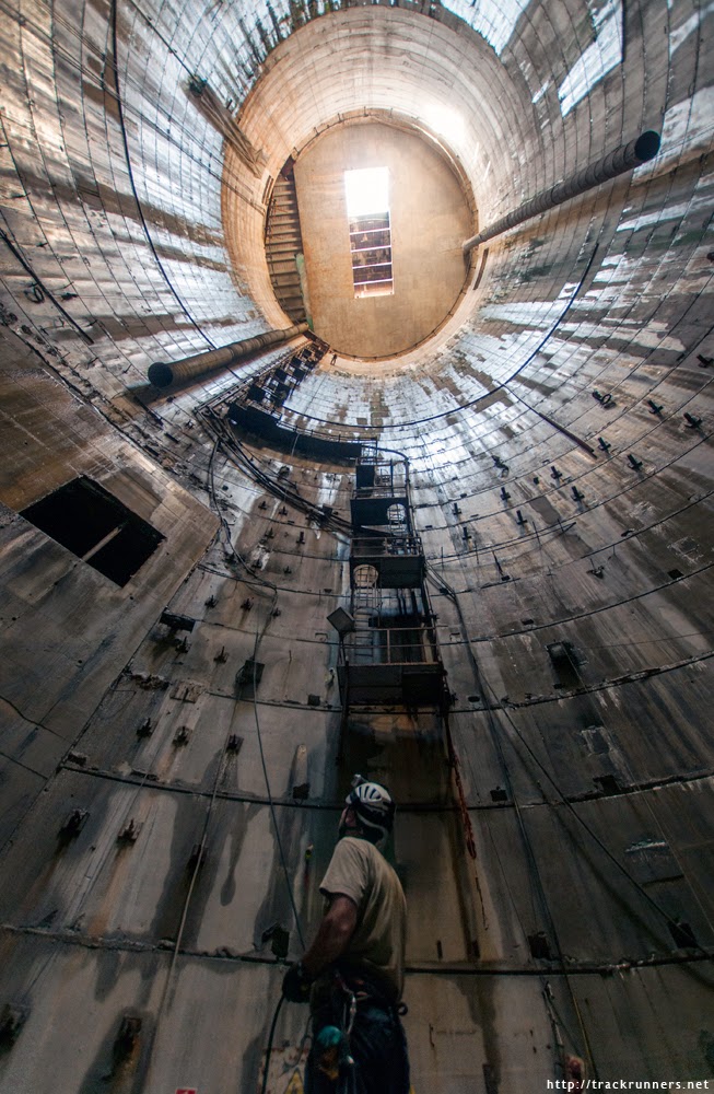 [Image: Photo by & courtesy of
  [Image: Photo by & courtesy of
 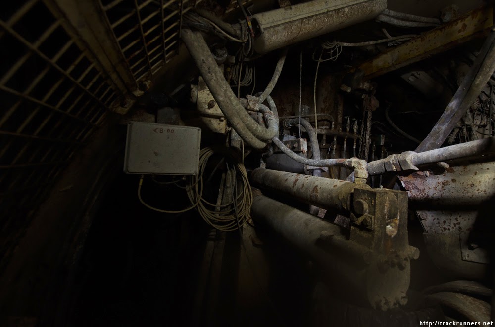 [Image: Photo by & courtesy of
  [Image: Photo by & courtesy of
  [Image: Photo by & courtesy of
 [Image: From “
 [Image: From “
 [Image: From “
 [Image: From “
 [Image: From “
 [Image: From “
 [Image: From “

 [Images: From “
 [Images: From “
 [Image: From “
 [Image: Artist’s rendering of a GPS satellite, via Wikipedia].
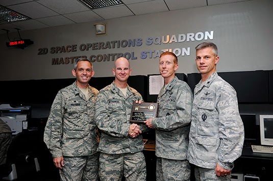 [Image: Transferring control over the GPS constellation. Photo courtesy U.S. Air Force/no photographer given].
 [Image: A “Master of Space” badge from Schriever Air Force Base].
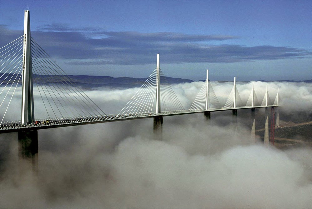 [Image: The Millau Viaduct, courtesy of
  [Image: The Millau Viaduct, courtesy of
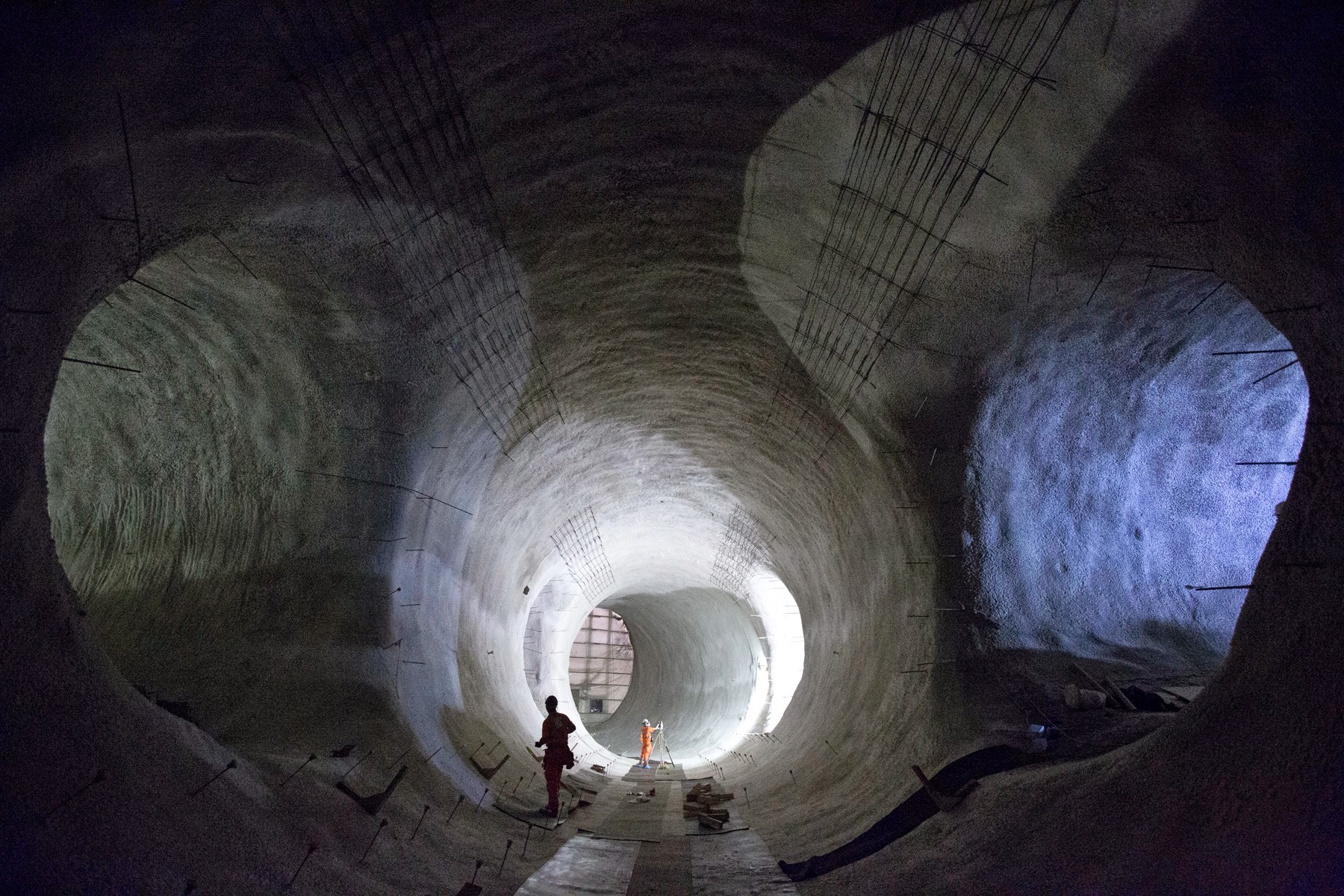 [Image: Bond Street platform tunnels, courtesy
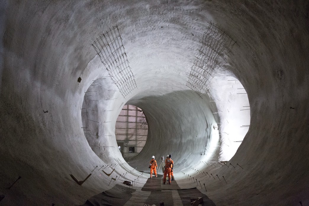 [Images: Bond Street platform tunnels, courtesy
 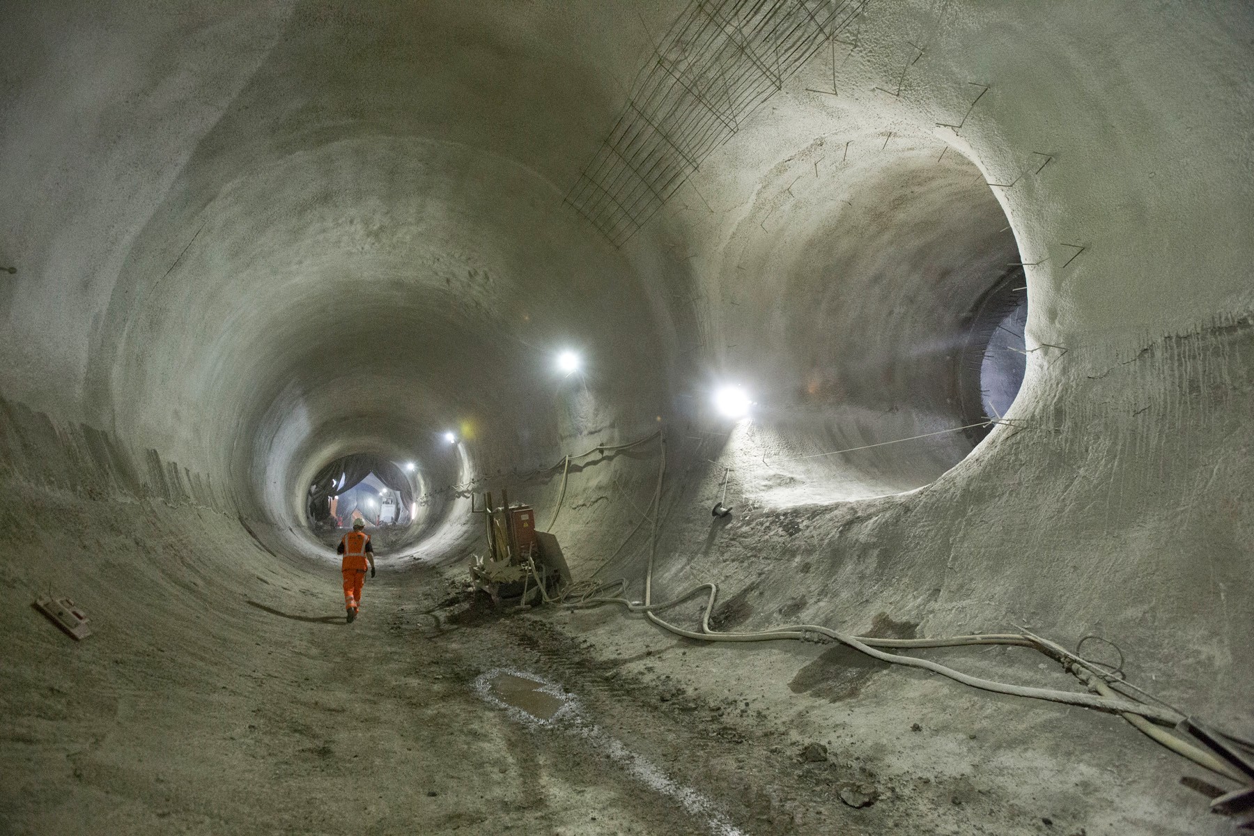 [Image: Bond Street platform tunnels, courtesy
 [Image: A screen grab from the homepage of
  [Image: A screen grab from the homepage of
.jpg)