
 [Image: “Riggers install a lightning rod” atop the Empire State Building “in preparation for an investigation into lightning by scientists of the General Electric Company” (1947), via the Library of Congress].
This is hardly news, but I wanted to post about the use of artificial lightning as a navigational aid for subterranean military operations.
This was reported at the time as a project whose goal was “to let troops navigate about inside huge underground enemy tunnel complexes by measuring energy pulses given off by lightning bolts,” where those lightning bolts could potentially be generated on-demand by aboveground tactical strike teams.
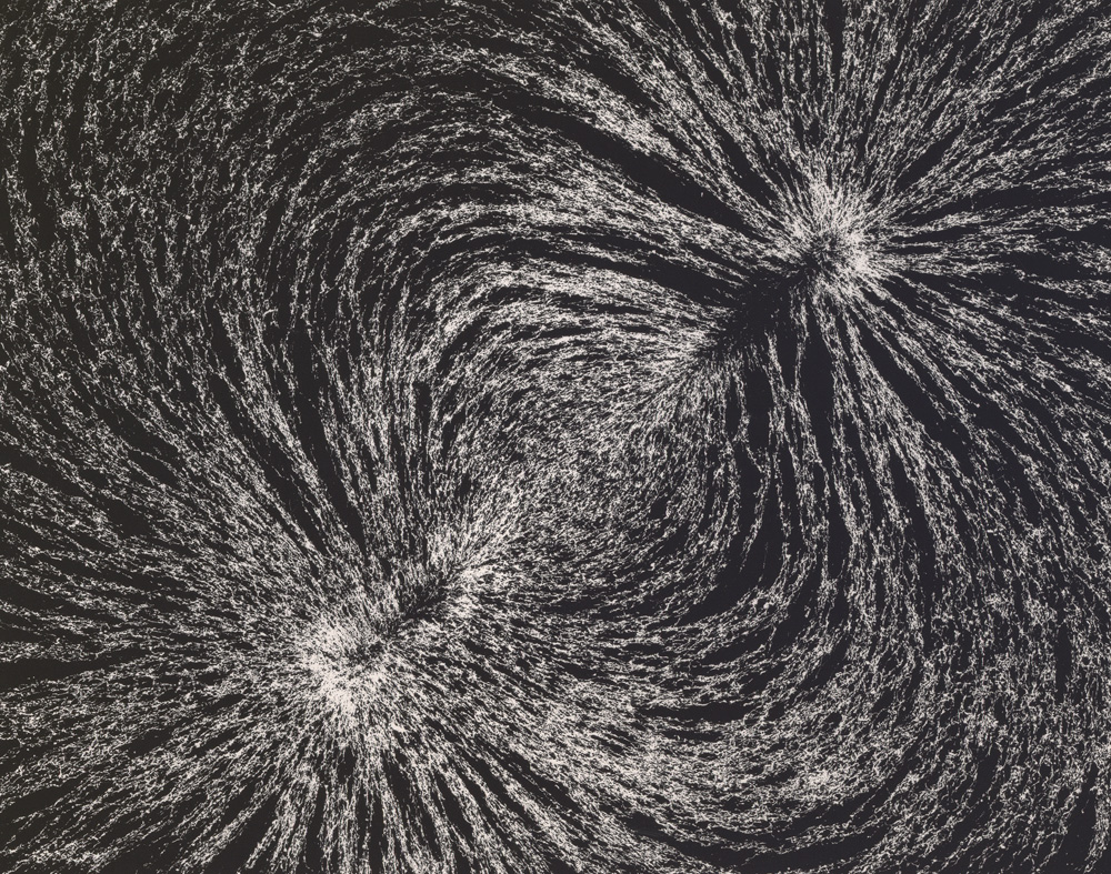
Such a system would replace the use of GPS—whose signals cannot penetrate into deep subterranean spaces—and it would operate by way of sferics, or radio atmospheric signals generated by electrical activity in the sky.
The proposed underground navigational system—known as “Sferics-Based Underground Geolocation” or S-BUG—would be capable of picking up these signals even from “hundreds of miles away. Receiving signals from lighting strikes in multiple directions, along with minimal information from a surface base station also at a distance, could allow operators to accurately pinpoint their position.” They could thus maneuver underground, even in hundreds—thousands—of feet below the earth’s surface in enemy caves or bunkers.
Hundreds of miles is a very wide range, of course—but what if there is no natural lightning in the area?
Enter artificial military storm generators, or the charge of the lightning brigade.
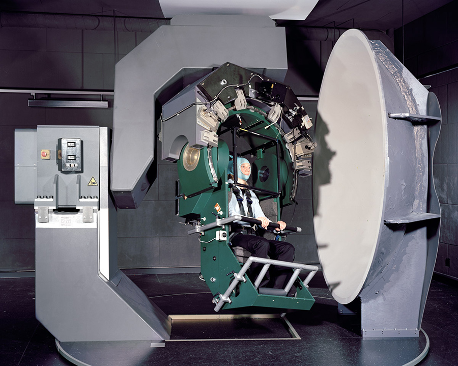
Back in 2009, DARPA also put out of a request for proposals as part of something called Project Nimbus. NIMBUS is “a fundamental science program focused on obtaining a comprehensive understanding of the lightning process.” However, it included a specific interest in developing machines for “triggering lightning”:
Experimental Set-up for Triggering Lightning: Bidders should fully describe how they would attempt to trigger lightning and list all potential pieces of equipment necessary to trigger lightning, as well as the equipment necessary to measure and characterize the processes governing lightning initiation, propagation, and attachment.
While it’s easy enough to wax conspiratorial here about future lightning weapons or militarized storm cells—after all, DARPA themselves write that they want to understand “how [lightning] ties into the global charging circuit,” as if “the global charging circuit” is something that could be instrumentalized or controlled—I actually find it more interesting to speculate that generating lightning would be not for offensive purposes at all, but for guiding underground navigation.
 [Image: Lightning storm over Boston; via Wikimedia/NOAA].
Something akin to a strobe light begins pulsing atop a small camp of unmarked military vehicles parked far outside a desert city known for its insurgent activities. These flashes gradual lengthen, both temporally and physically, lasting longer and stretching upward into the sky; the clouds above are beginning to thicken, grumbling with quiet rolls of thunder.
Then the lightning strikes begin—but they’re unlike any natural lightning you’ve ever seen. They’re more like pops of static electricity—a pulsing halo or toroidal crown of light centered on the caravan of trucks below—and they seem carefully timed.
To defensive spotters watching them through binoculars in the city, it’s obvious what this means: there must be a team of soldiers underground somewhere, using artificial sferics to navigate. They must be pushing forward relentlessly through the sewers and smuggling tunnels, crawling around the roots of buildings and maneuvering through the mazework of infrastructure that constitutes the city’s underside, locating themselves by way of these rhythmic flashes of false lightning.
Of course, this equipment would eventually be de-militarized and handed down to the civilian sector, in which case you can imagine four friends leaving REI on a Friday afternoon after work with an artificial lightning generator split between them; no larger than a camp stove, it would eventually be set up with their other weekend caving equipment, used to help navigate through deep, stream-slick caves an hour and a half outside town, beneath tall mountains where GPS can’t always be trusted.
Or, perhaps fifty years from now, salvage teams are sent deep into the flooded cities of the eastern seaboard to look for and retrieve valuable industrial equipment. They install an artificial lightning unit on the salt-bleached roof of a crumbling Brooklyn warehouse before heading off in a small armada of marsh boats, looking for entrances to old maintenance facilities whose basement storage rooms might have survived rapid sea-level rise.
Disappearing down into these lost rooms—like explorers of Egyptian tombs—they are guided by bolts of artificial lightning that spark upward above the ruins, reflected by tides.
 [Image: Lightning via NOAA].
Or—why not?—perhaps we’ll send a DARPA-funded lightning unit to one of the moons of Jupiter and let it flash and strobe there for as long as it needs. Called Project Miller-Urey, its aim is to catalyze life from the prebiotic, primordial soup of chemistry swirling around there in the Cthulhoid shadow of eternal ice mountains.
Millions and millions of years hence, proto-intelligent lifeforms emerge, never once guessing that they are, in fact, indirect descendants of artificial lightning technology. Their spark is not divine but military, the electrical equipment that sparked their ancestral line long since fallen into oblivion.
In any case, keep your eyes—and cameras—posted for artificial lightning strikes coming to a future military theater near you…

 [Image: An otherwise unrelated shot of rebar used in road construction; via
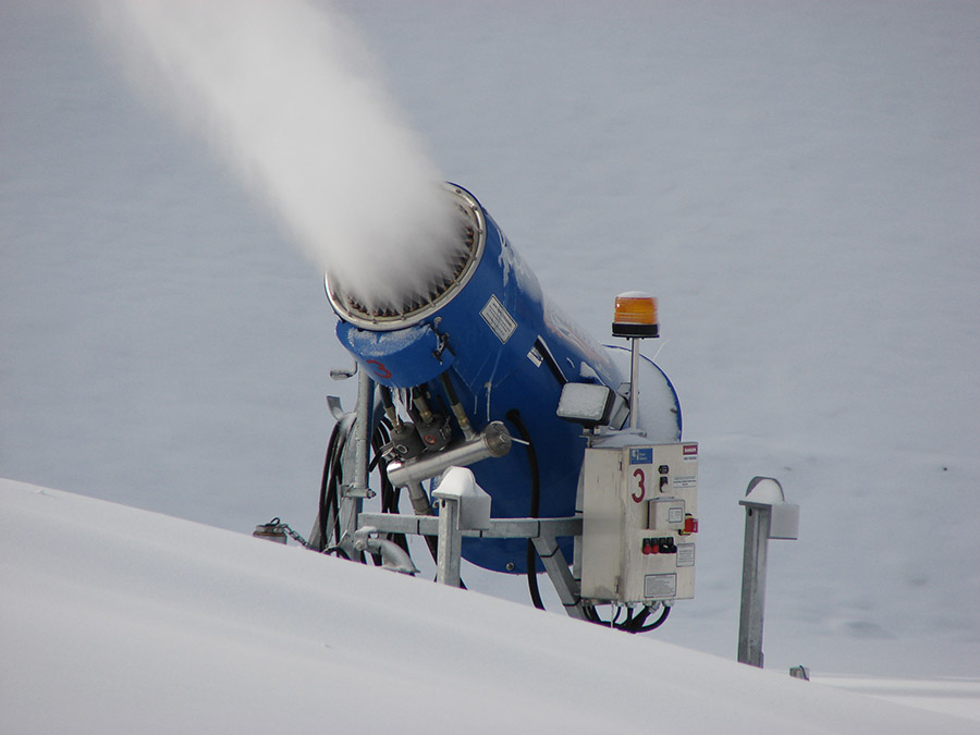 [Image: Snow-making equipment via
 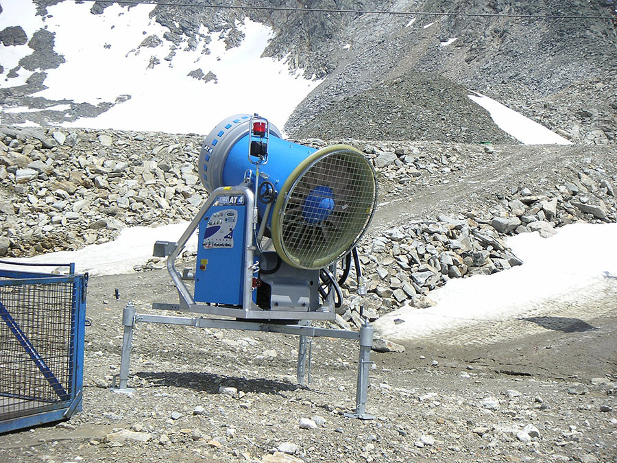 [Image: Snow-making equipment via
 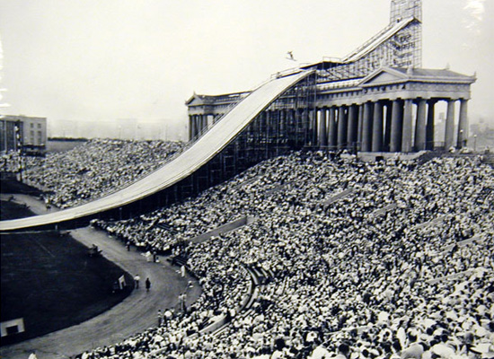 [Image: Ski jumping in summer at Chicago’s Soldier Field (1954); via
 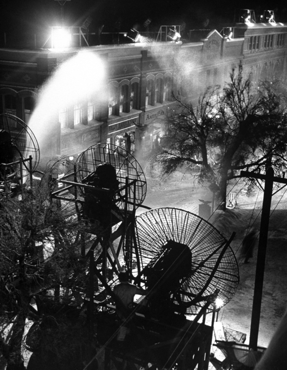 [Image: Making snow for It’s A Wonderful Life, via
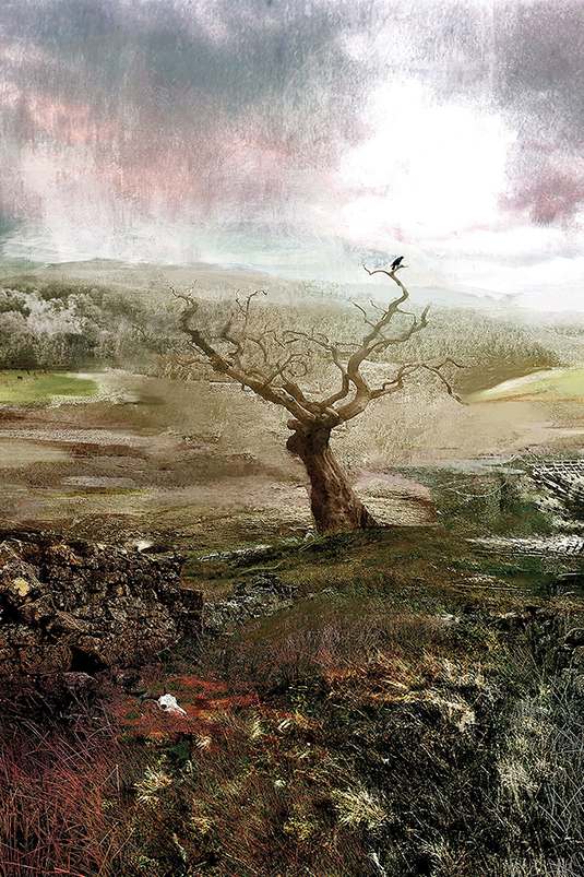 [Image: Illustration by
 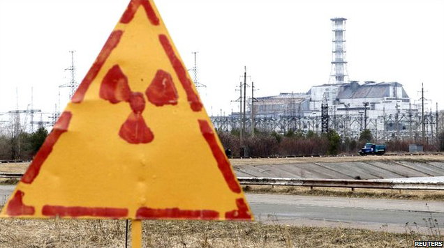 [Image: Hand-painted radiation sign at Chernobyl, via
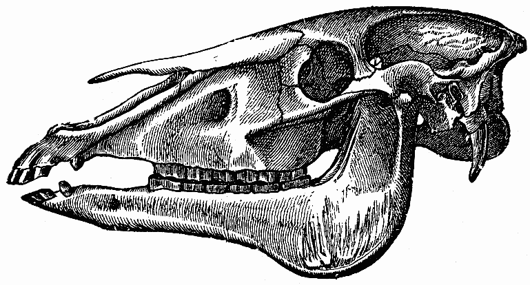 [Image: Horse skull via
 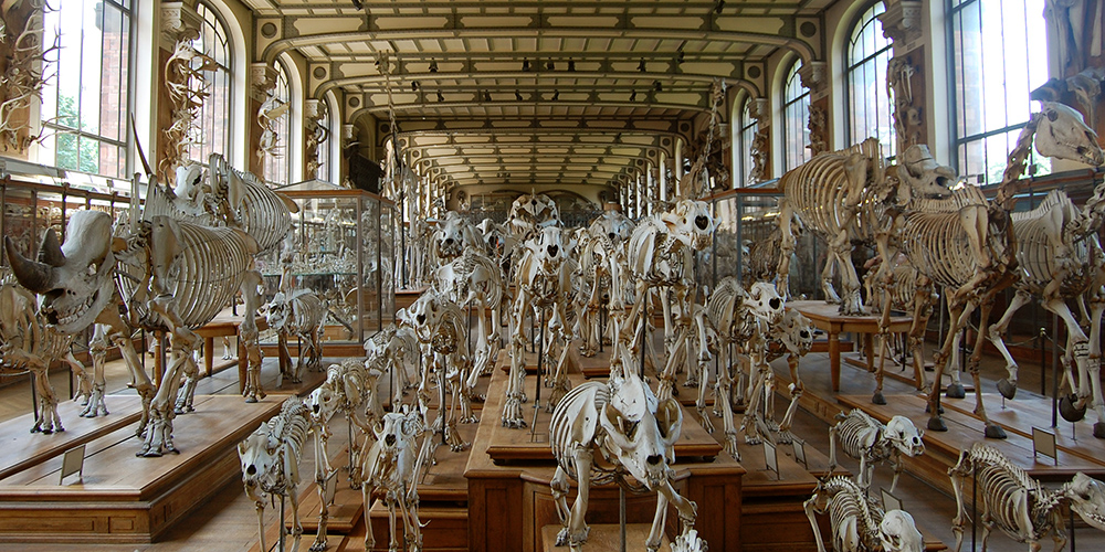 [Image: Inside the Paris
 [Image: Via the
  [Image: Via the
 [Image: Here’s another image from the same
 [Image: Sewn geology; photo by Matthew Cox of
 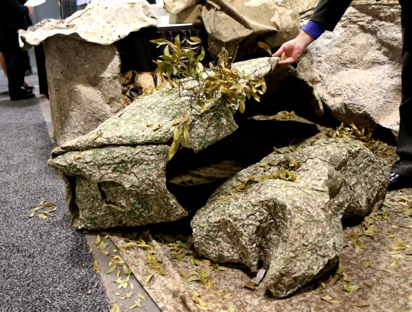 [Image: Lifting up fake rocks; photo by Matthew Cox of
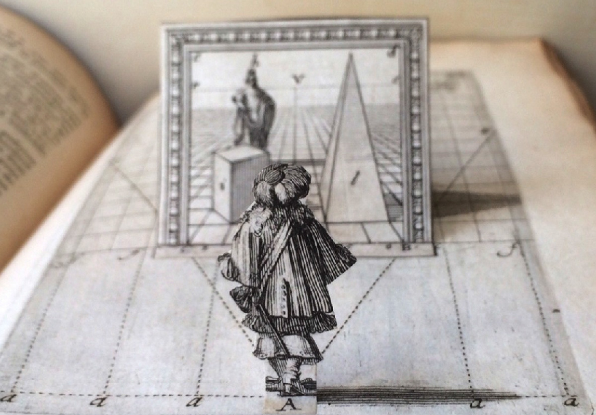 [Image: A figure and his optical context pop up from the pages of a 17th-century treatise on perspective by Abraham Bosse, defending the
 [Image: From
  [Image: From
  [Image: From
  [Image: From
 [Images: From
 [Image:
 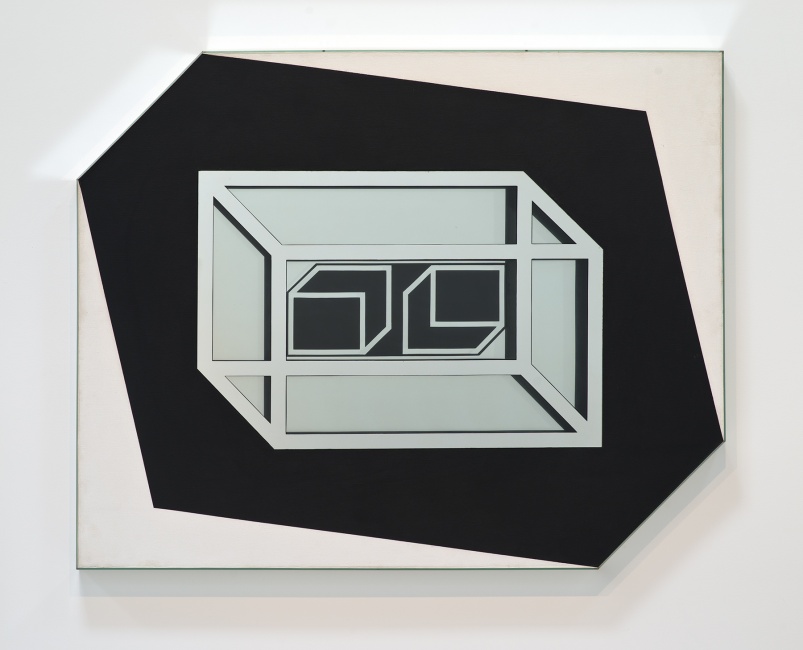 [Image: “Untitled” by Larry Bell (1962), via the
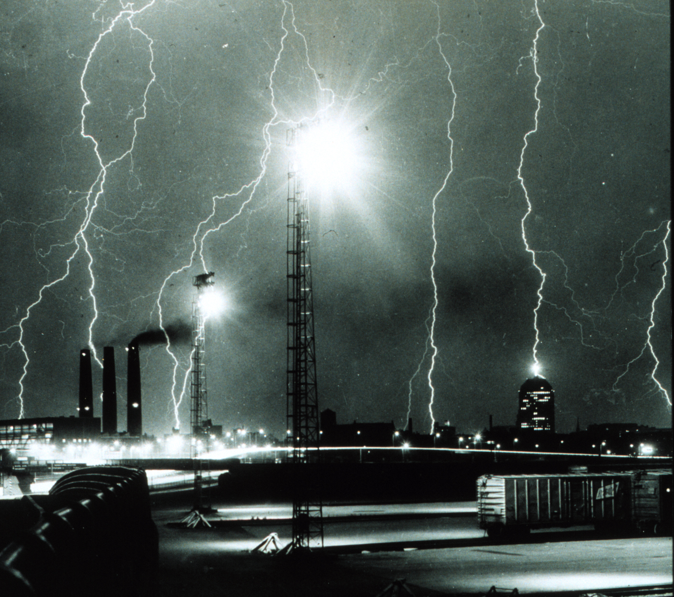