[Image: “Conceptual diagram of satellite triangulation,” courtesy of the Office of NOAA Corps Operations (ONCO)].
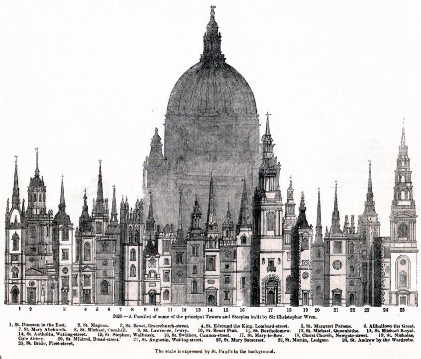
I’ve long been fascinated by what I might call the geological nature of harddrives – how certain mineral arrangements of metal and ferromagnetism result in our technological ability to store memories, save information, and leave previous versions of the present behind.
A harddrive would thus be a geological object as much as it is a technical one: a content-rich, heavily processed re-configuration of the earth’s surface.
 [Image: Geometry in the sky. “Diagram showing conceptual photographs of how satellite versus star background would appear from three different locations on the surface of the earth,” courtesy of the Office of NOAA Corps Operations (ONCO)].
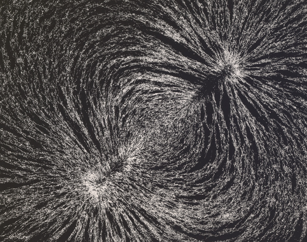
Perhaps someday we won’t need harddrives at all: we’ll simply use geology itself. In other words, what if we could manipulate the earth’s own magnetic field and thus program data into the natural energy curtains of the planet?
The earth would become a kind of spherical harddrive, with information stored in those moving webs of magnetic energy that both surround and penetrate its surface.
This extends yet further into an idea that perhaps whole planets out there, turning in space, are actually the harddrives of an intelligent species we otherwise have yet to encounter – like mnemonic Death Stars, they are spherical data-storage facilities made of content-rich bedrock – or, perhaps more interestingly, we might even yet discover, in some weird version of the future directed by James Cameron from a screenplay by Jules Verne, that the earth itself is already encoded with someone else’s data, and that, down there in crustal formations of rock, crystalline archives shimmer.
I’m reminded of a line from William S. Burroughs’s novel The Ticket That Exploded, in which we read that beneath all of this, hidden in the surface of the earth, is “a vast mineral consciousness near absolute zero thinking in slow formations of crystal.”
 [Image: “An IBM HDD head resting on a disk platter,” courtesy of Wikipedia].
In any case, this all came to mind again last night when I saw an article in New Scientist about how 3D holograms might revolutionize data storage. One hologram-encoded DVD, for instance, could hold an incredible 1000GB of information.
So how would these 3D holograms be formed?
“A pair of laser beams is used to write data into discs of light-sensitive plastic, with both aiming at the same spot,” the article explains. “One beam shines continuously, while the other pulses on and off to encode patches that represent digital 0s and 1s.”
The question, then, would be whether or not you could build a geotechnical version of this, some vast and slow-moving machine – manufactured by Komatsu – that moves over exposed faces of bedrock and “encodes” that geological formation with data. You would use it to inscribe information into the planet.
To use a cheap pun, you could store terrabytes of information.
But it’d be like some new form of plowing in which the furrows you produce are not for seeds but for data. An entirely new landscape design process results: a fragment of the earth formatted to store encrypted files.
Data gardens.
They can even be read by satellite.
 [Image: The “worldwide satellite triangulation camera station network,” courtesy of NOAA’s Geodesy Collection].
Like something out of H.P. Lovecraft – or the most unhinged imaginations of early European explorers – future humans will look down uneasily at the earth they walk upon, knowing that vast holograms span that rocky darkness, spun like inexplicable cobwebs through the planet.
Beneath a massive stretch of rock in the remotest state-owned corner of Nevada, top secret government holograms await their future decryption.
The planet thus becomes an archive.
(Earlier on BLDGBLOG: Geomagnetic Harddrive).
 [Image: USGS map of eastern Virginia, altered by BLDGBLOG.]
 [Image: R. Fu, via
  [Image: One of the pots; photo by
  [Image: One of the pots; photo by
 [Image:
  [Image: “Untitled” by Larry Bell (1962), via the
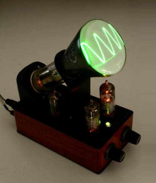 [Image: A toy antique oscilloscope by Andrew Smith, courtesy of
  [Image: An LED cube by
  [Image: “GPS pigeons” by