
 [Image: Random image of street lights].
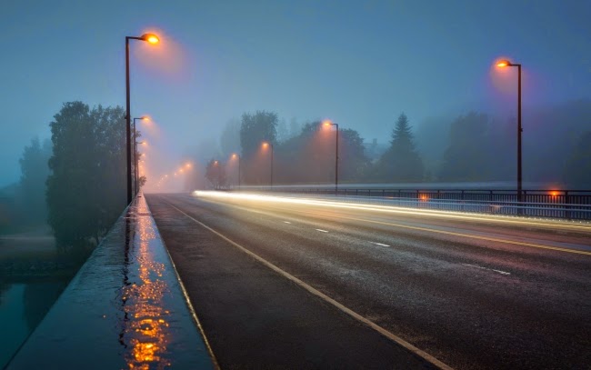
Parts of Copenhagen are being turned into an outdoor night-lighting experiment, aiming to determine exactly how—even to what extent—cities should be illuminated at night, not only to use resources most efficiently but to increase urban security.
A mix of context-sensitive and remotely controlled lighting systems will be deployed, and each light will have its own IP address for outside monitoring. “Sensors that track traffic density, air quality, noise, weather conditions and UV radiation will also be fitted throughout the site to see what sort of environment the lights are operating in,” New Scientist explains. “All this will help work out which lights are making the biggest difference in terms of lowering costs and emissions.”
The visual results will be not unlike an outdoor museum of experiential light art, a kind of an “Urban Light” sculpture blown up to the scale of a neighborhood, and the Danish Outdoor Lighting Lab—or DOLL as it’s known—is even meant to be toured as such. While “engineers will have freedom to toy with the different products,” we also read that “foreign officials who are curious about the technology can comparison-shop for their hometown.”
 [Image: Another random image of a street light].
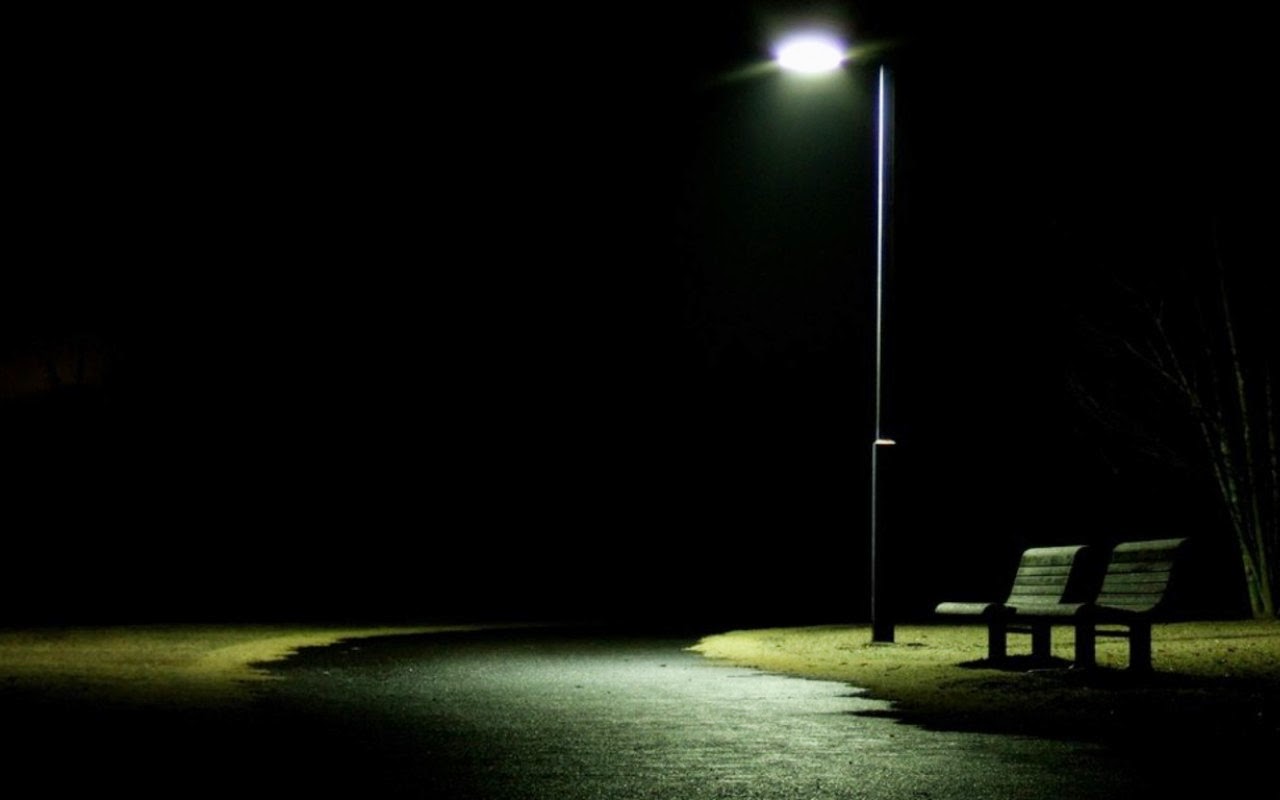
But these networked and responsive urban lighting systems also come with political implications, including an effect on how the city can be monitored by authorities.
Indeed, “Fitting street lamps with complex sensors—and hooking them up to a larger network that controls the city—will have implications far outside of lighting,” the article explains. “If a street lamp senses a sudden rush of people in an area that’s usually deserted at night, police could be tipped off to go check the area out.” And, by extension, those streets could be dramatically flooded with blazing incandescence, transforming the city’s infrastructure into a kind of giant police spotlight.
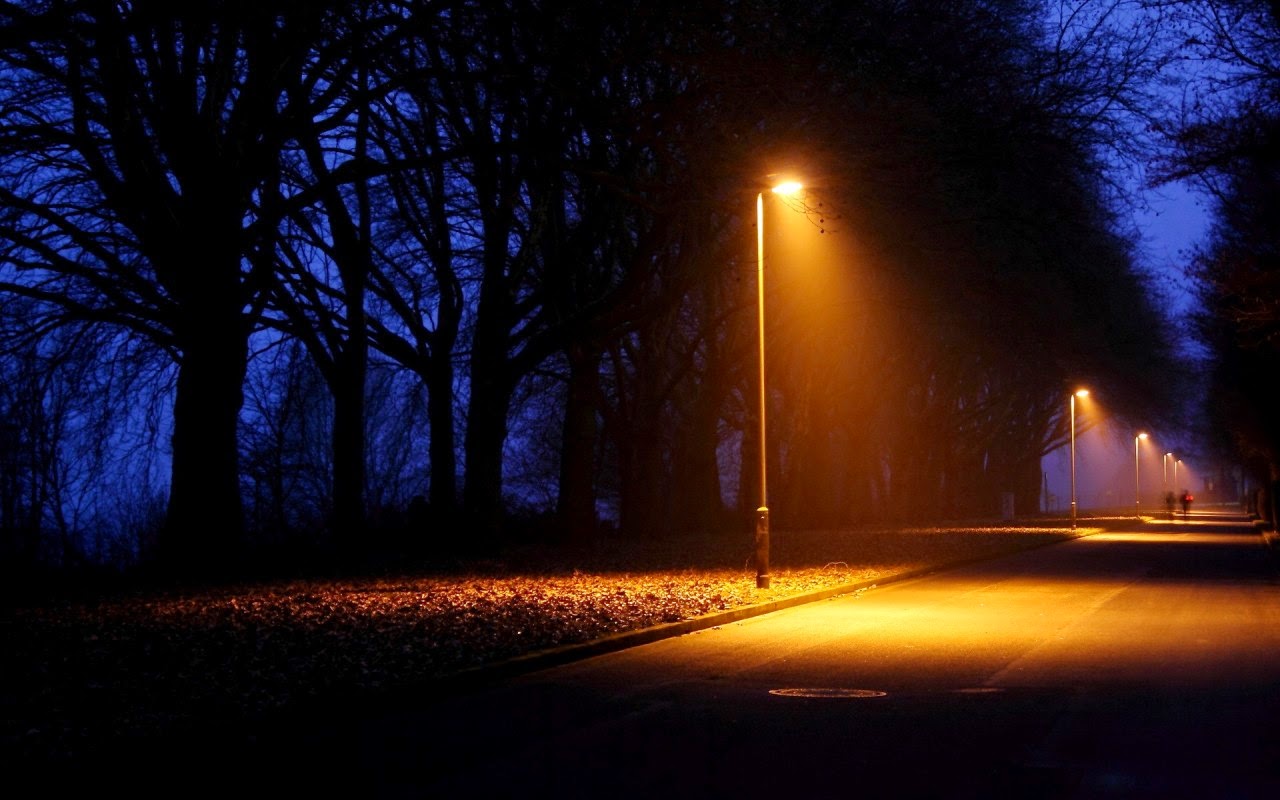
It’s not hard to imagine life in one of these smart-lit neighborhoods of the future where, one evening, a suspect—perhaps you—has been chased by police; whole streets light up strategically, one by one, tracking the suspect—guilty or not—as he or she attempts to flee, small emergency lights even turning on in spots where they had previously been invisible. Other streets and alleys dim to help hide police in the darkness. Infrastructure becomes not just civic but tactical.
Recall Evgeny Morozov’s look at the smart city as a kind of urban police state. Writing for The Guardian earlier this summer, Morozov suggested that, “As both cars and roads get ‘smart,’ they promise nearly perfect, real-time law enforcement. Instead of waiting for drivers to break the law, authorities can simply prevent the crime.” They can simply darken entire neighborhoods—or flood them with the brilliance of a thousand LED suns.
 [Image: One more random street light image].
Police-enabled pieces of urban infrastructure are, for Morozov, “emblematic of transformations in many other domains, from smart environments for ‘ambient assisted living’ where carpets and walls detect that someone has fallen, to various masterplans for the smart city, where municipal services dispatch resources only to those areas that need them.”
Thanks to sensors and internet connectivity, the most banal everyday objects have acquired tremendous power to regulate behavior. Even public toilets are ripe for sensor-based optimisation: the Safeguard Germ Alarm, a smart soap dispenser developed by Procter & Gamble and used in some public WCs in the Philippines, has sensors monitoring the doors of each stall. Once you leave the stall, the alarm starts ringing—and can only be stopped by a push of the soap-dispensing button.
Perhaps the DOLL experiment reveals that we can now add street lights to that list: smart targeting systems that make decisions in real-time as to which residents and neighborhoods have a right to light and who shall be punished by the induced darkness of an infrastructure that no longer wants to turn on for them.

 [Image: Screengrab from
 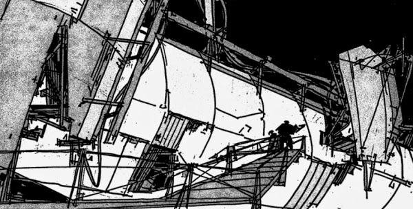 [Image: From
 [Image: “Cultivating the Map” by Danny Wills].

 [Images: “Cultivating the Map” by Danny Wills].


 [Images: “Cultivating the Map” by Danny Wills].
 [Images: “Cultivating the Map” by Danny Wills].
 [Image: “Cultivating the Map” by Danny Wills].


 [Images: “Cultivating the Map” by Danny Wills].


 [Images: “Cultivating the Map” by Danny Wills].


 [Images: “Cultivating the Map” by Danny Wills].
 [Images: “Cultivating the Map” by Danny Wills].


 [Images: “Cultivating the Map” by Danny Wills].


 [Images: “Cultivating the Map” by Danny Wills].
 [Image: Photo courtesy
 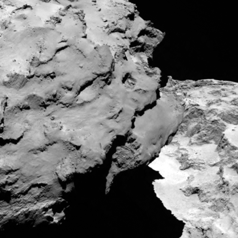 [Image: Photo courtesy
 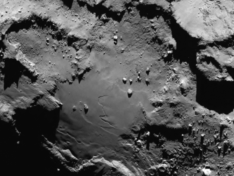 [Image: Photo courtesy
  [Image: Photo by
 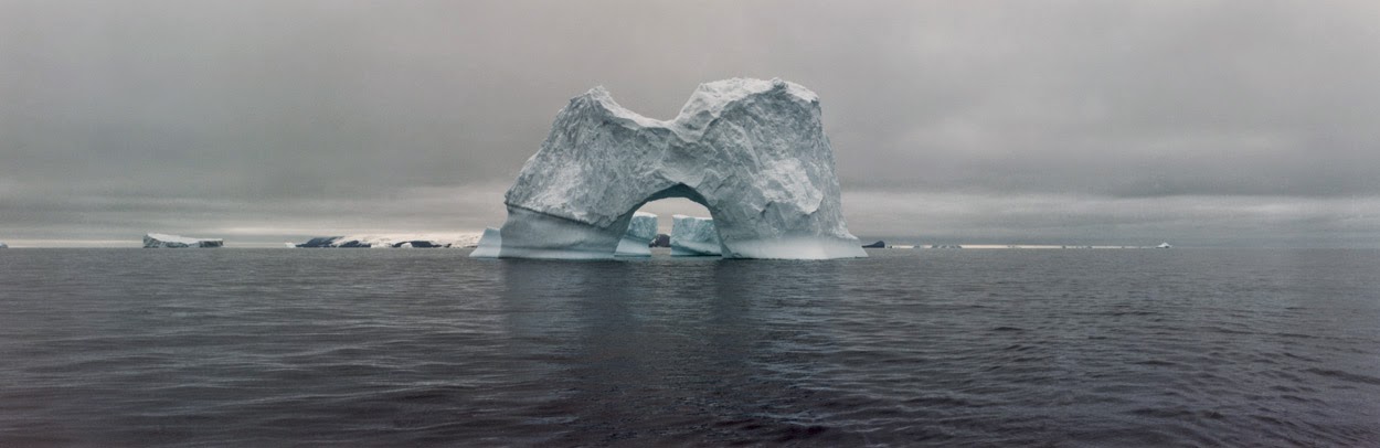 [Image: The gateway arches of the Antarctic; photo by
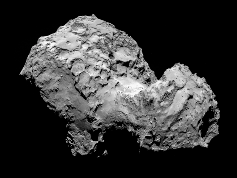
 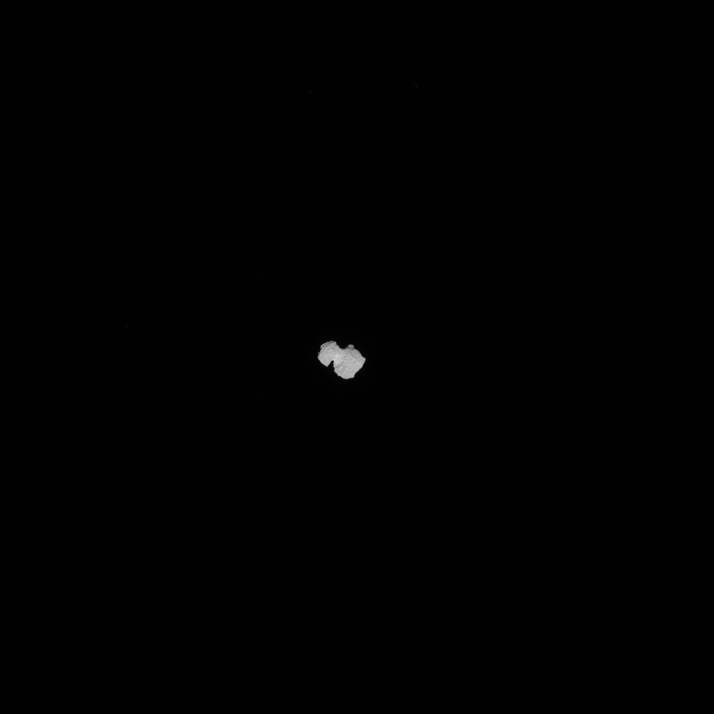 [Image: Approaching 67P, via the
 [Image: Wrapped cabin, courtesy
 [Image: Photo by BLDGBLOG].
 [Image: Photo by BLDGBLOG].
 [Image: Photo by BLDGBLOG].
 [Image: The International Space Station,
  [Image: The South Pacific “spacecraft cemetery”; image remade based on
  [Image: The International Space Station, courtesy NASA].
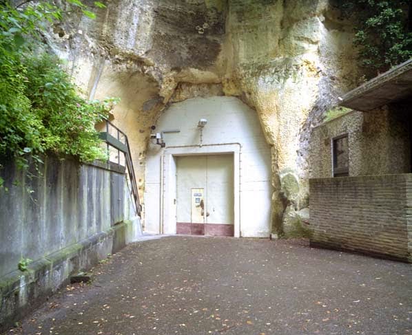 [Image: An entrance to the quarry in Kanne; photo by
 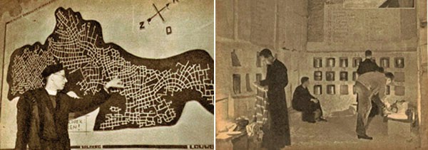 [Images: Monks underground; via
 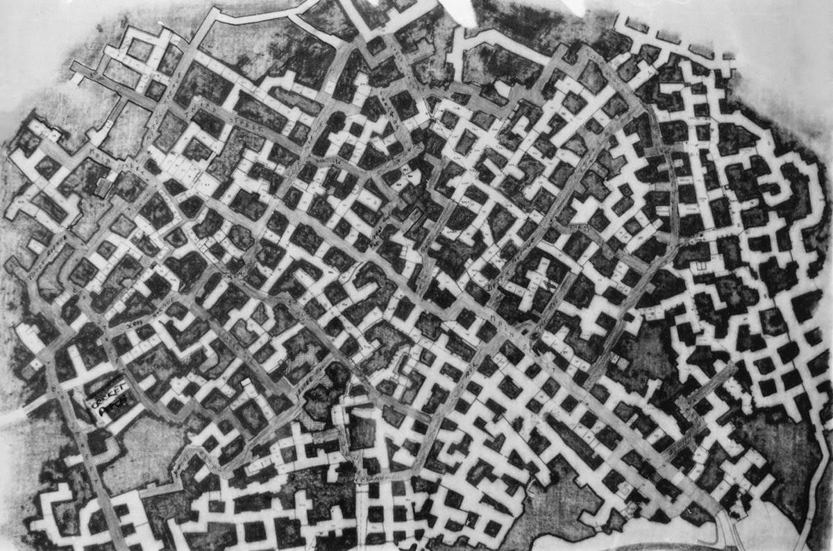 The “streets” were named, but not always easy to follow; however, this didn’t stop officers stationed there from occasionally going out to explore the older tunnels at night. A former employee named Bob Hankinson describes how he used to navigate:
 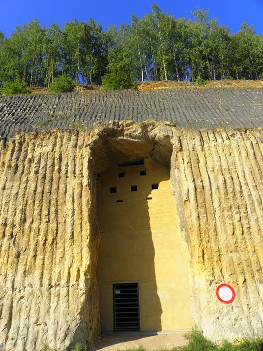 [Image: An entrance into the NATO complex;
 [Image: Inside NYC’s
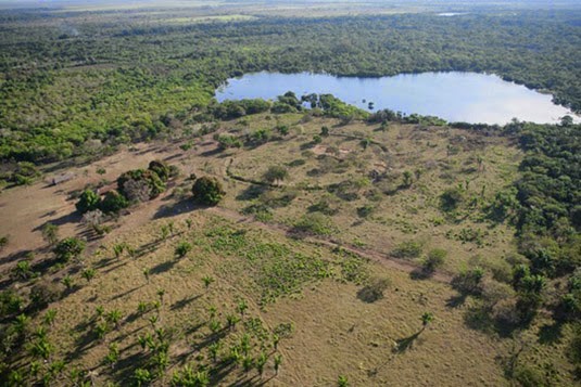 [Image: Photo by Heiko Prumers, courtesy of
 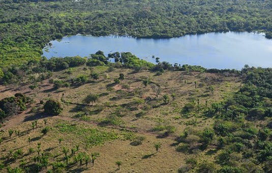 [Image: Photo by Heiko Prumers, courtesy of
 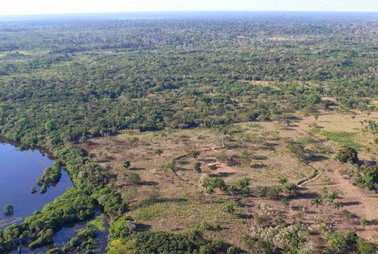 [Image: Photo by Heiko Prumers, courtesy of