I’ve mentioned the following story to so many people, I thought I might as well put up a quick post about it. There are strong Kristian Birkeland vibes with this—and, of course, anything involving an entire mountain transformed into a kind of passive-cosmic megamachine is bound to get my attention.
 [Image: Watercolor by Karl Lemström, taken from the paper “From laboratory to mountaintop: Creating an artificial aurora in the late nineteenth century” by Fiona Amery.]
Karl Lemström was a 19th-century Finnish physicist who believed that he had figured out how the Northern Lights—and planetary auroras, more generally—were produced.
Lemström was convinced the lights were an electromagnetic phenomenon, Graham Lawton writes for New Scientist, while others argued for things like “meteoric dust” combusting in the sky. Lemström, Lawton writes, “was determined to prove them wrong. Not with a tabletop simulation, but by creating an actual, full-sized aurora in one of its natural habitats, the frigid mountains of Lapland.”
 [Image: Extraordinary watercolor by Karl Lemström, taken from the paper “From laboratory to mountaintop: Creating an artificial aurora in the late nineteenth century” by Fiona Amery; also seen via New Scientist]
In November 1871, Lemström installed a kind of super-antenna on a mountain known as Luosmavaara, in what is now Sweden (in fact, Luosmavaara is right above the mining city of Kiruna, which is now infamous for being moved, building by building, to avoid collapsing into the ever-expanding mine).
Lemström’s device “consisted of a 2-square-metre spiral of copper wire held aloft on steel poles about 2 metres tall. Soldered to the wire were a series of metal rods that pointed skywards. He ran another copper wire 4 kilometres down the mountain, to which he attached a galvanometer to measure the current and a metal plate to ground the device. This elaborate apparatus was designed to channel and amplify the electric current that Lemström fervently believed was flowing from the atmosphere into the earth, and hence bring forth an aurora.”
As with Kristian Birkeland, Lemström’s experiments only got more ambitious from there. He ended up on a different mountain, known as Orantunturi, where he unfurled what Lawton calls a “copper wreath” nearly 900 square meters in size.
 [Image: Watercolor by Karl Lemström, taken from the paper “From laboratory to mountaintop: Creating an artificial aurora in the late nineteenth century” by Fiona Amery.]
Lawton’s full article is worth reading for more details and context, but I would strongly urge you to read historian Fiona Amery’s paper, “From laboratory to mountaintop: Creating an artificial aurora in the late nineteenth century,” from which Lawton pulled the majority of his material.
There, Amery refers to “a tradition of mimetic experimentation in the late nineteenth century, whereby morphologists sought to scale down sublime natural phenomena to tabletop devices in the laboratory.” The story of Lemström, she quickly adds, is about a “different kind of imitation,” or the production of a 1:1 simulation that would “materialize at the same scale as the original phenomenon.”
Of particular interest in Amery’s piece is the central question of whether or not Lemström did, in fact, successfully model—that is, trigger—an aurora, or whether the instrumentation he installed on these mountains was simply coincidentally present during otherwise unrelated auroral displays, or, indeed, whether Lemström saw an aurora at all, not a similar effect known as St. Elmo’s Fire.
My own imagination, for whatever it’s worth, remains totally captivated by the idea of mountain-scale atmospheric machinery, where vast copper wreaths, perhaps resembling the fine metalwork of royal jewelry, have been draped down a mountainside as a means for calling titanic curtains of electricity down from space.
What’s more, I can’t stop thinking about what might have happened if a passive experimental apparatus of this scale had been left, operational but abandoned, in the distant woods somewhere, forgotten entirely by local generations, such that rich auroral displays burning above the local mountains every season are only later discovered to be, in a sense, artificial. Then local teenagers—or an intrepid grad student, or, for that matter, a lost cross-country skier—come through, pulling aside dead branches only to discover an enormous machine covered in two century’s worth of vegetation, perhaps wondering if what they’ve found was built by humans at all.
(Of very tangential but potentially related interest: Shining Path; less related but still cool: A Voice Moving Over The Waters.)
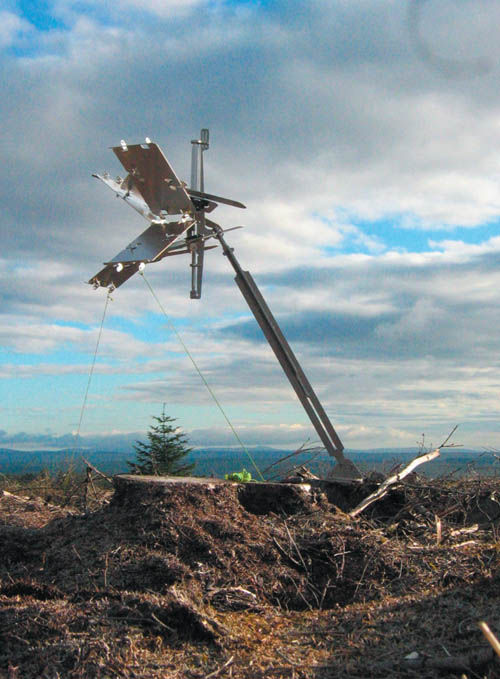
 [Image:
  [Image:
  [Image:

 [Images: The
  [Image:
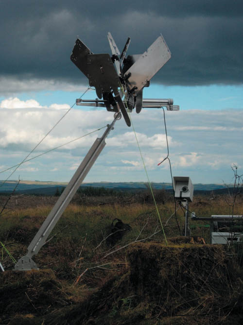
 [Images:
  [Image:
  [Image:
  [Image:
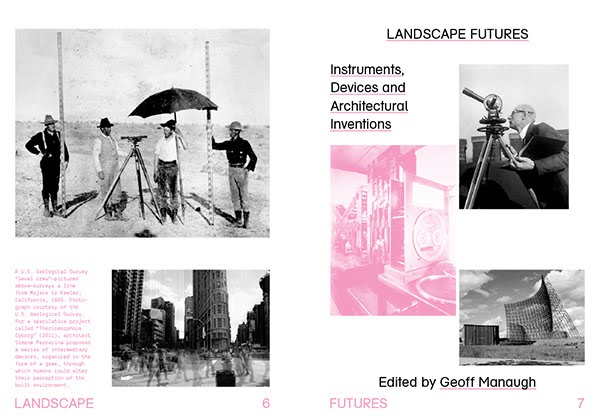 [Image: Internal title page from
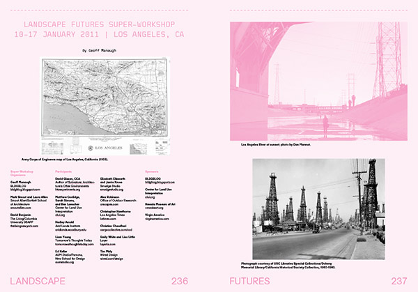
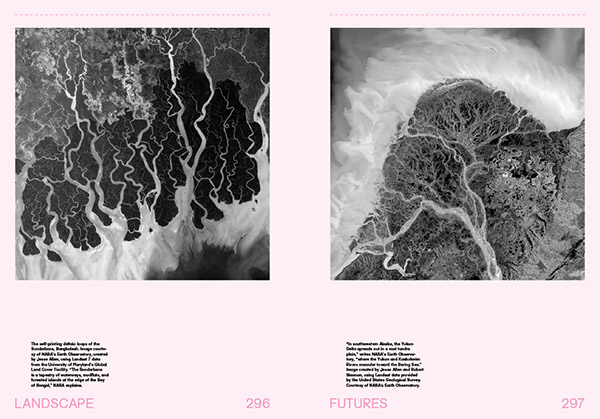 [Images: A few spreads from the “Landscape Futures Sourcebook” featured in
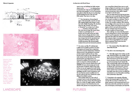

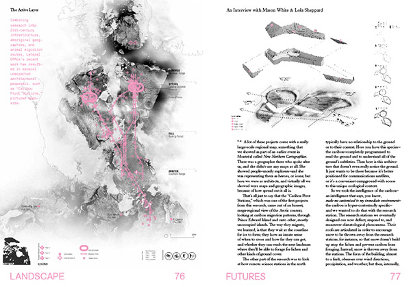

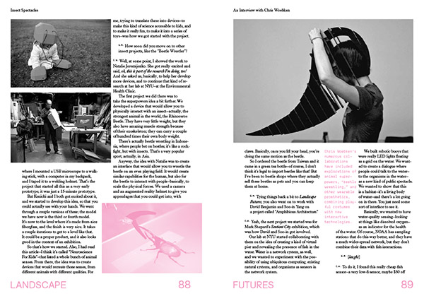

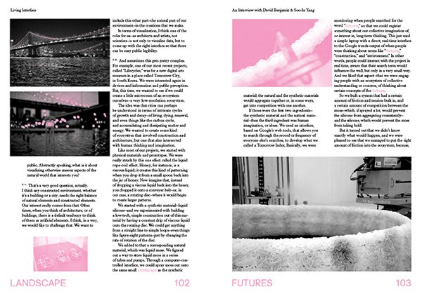

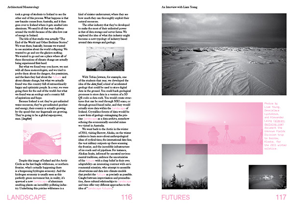

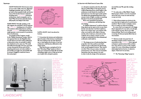
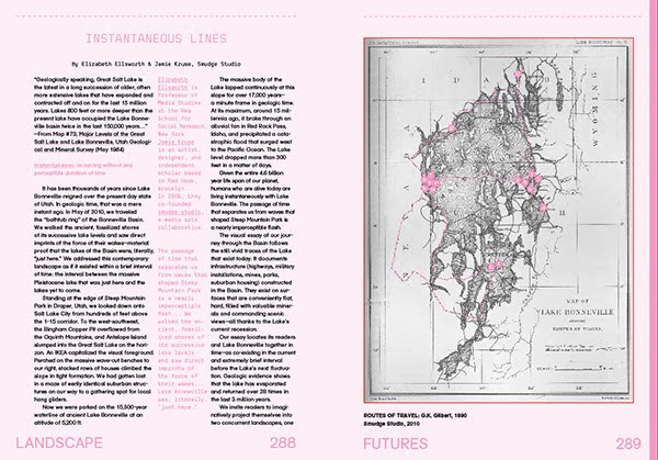
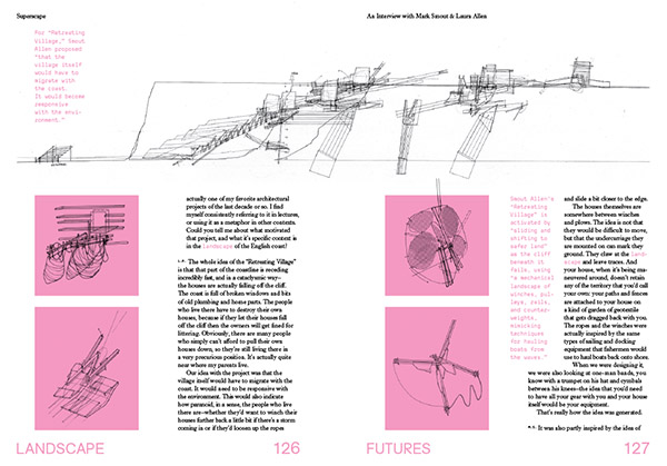 [Images: Interview spreads from
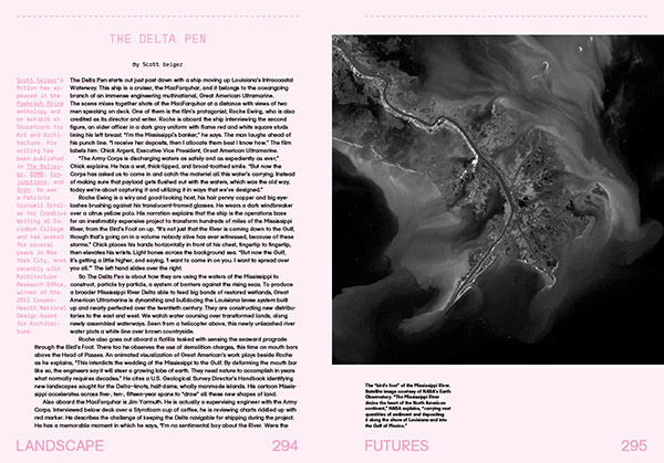
 [Image: From “
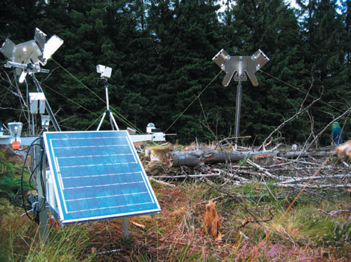 [Image: From “
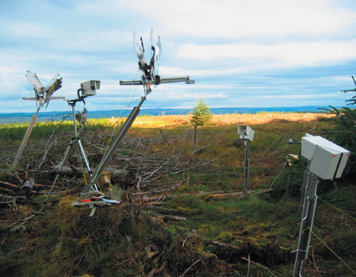
 [Images: From “
 [Images: From “
 [Image: From “