
Toxic chemicals leaking from an old wastewater treatment plant in Alabama have unexpectedly led to the discovery of a 1,700-year old “pre-historic village” buried in the ground nearby. Chemicals “have seeped into the ground surrounding the old plant,” according to a local news station, so “the soil needs to be removed and taken to a toxic waste facility.”
However, a survey of the contaminated site soon revealed that the ground also contained extremely well-preserved artifacts “from a village that once thrived” there. “Lo and behold,” the head excavator remarked to the news show: “we found a massive late-middle Woodland period village.”
It’s not hard to imagine someone another 1,700 years from now accidentally discovering the forgotten city of, say, New York—or Chicago, or Bangkok, swallowed by mud—after a chemical leak at a nearby factory: radioactive liquids drain down through the topsoil, flowing around buried walls and ruins, forming iridescent pools on floors in basements—slow and toxic streams tracing the shapes of old stairways, lighting a path for future excavation and descent. Like giving the earth a radiopharmaceutical, you fire up a ground-scanning machine, trace the pollution underground, and, lo and behold, the dark outlines of buried cities start to glow.
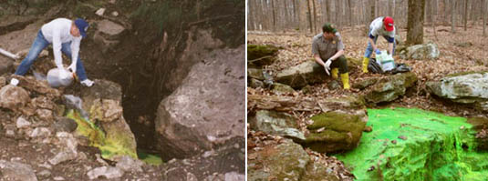 [Images: Dye-tracing cave systems; note that the chemical used is supposedly non-toxic].
In fact, I’m reminded of dye-tracing techniques used for mapping otherwise impenetrable or overly complex cave systems. In James Tabor’s wildly uneven 2010 book Blind Descent, for instance, we read about legendary caver Alexander Klimchouk, who set about dye-tracing caves on the Arabika Massif, including Krubera Cave, currently the deepest known cave in the world.
“In 1984 and 1985,” Tabor explains, “[Klimchouk] poured fluorescein dye into several caves, including Krubera, high on the Arabika. Traces of that dye later flowed out of springs on the shore of the Black Sea far below. More traces tinged the water 400 feet beneath the surface of the Black Sea, miles offshore,” indicating genuinely—in fact, record-breakingly—huge dimensions for the overall system of caves.
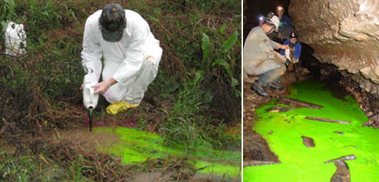 [Images: Dye-tracing caves].
But even the most remote, fictional possibility that future spelunking archaeologists might someday map lost cities—London, Moscow, Beijing, Rome—by using dye-tracing packs to illuminate that underground world of collapsed halls and buried rooms is extraordinary. Cartographers in mountaineering gear and helmet-mounted floodlights descend into the New York subway system in 5,161 A.D., following luminescent trails of fluorescein dye, crawling, walking, rappelling into the underworld on the trail of shining rivers as subterranean ruins begin to shine.
(Alabama story found via @ArchaeologyTime).
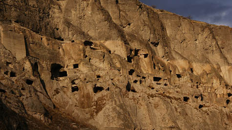
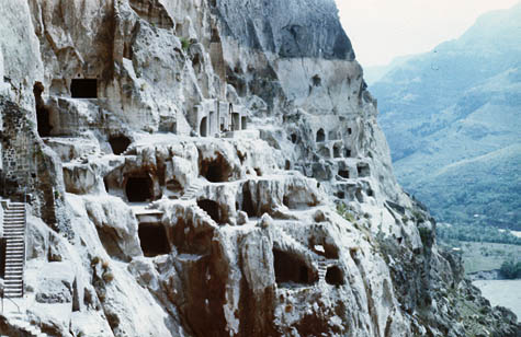 [Image: The Georgian cave monastery of Vardzia, via
 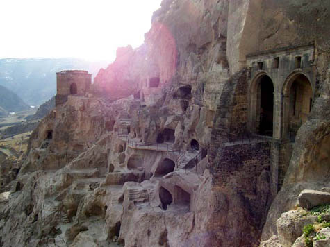 [Image: Vardzia, via
 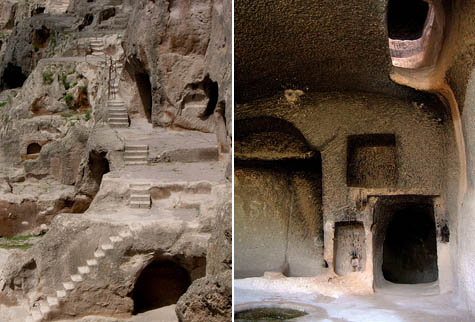 [Images: Vardzia, via
 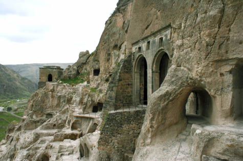 [Images: Vardzia, via
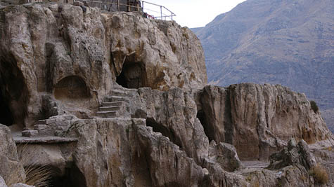
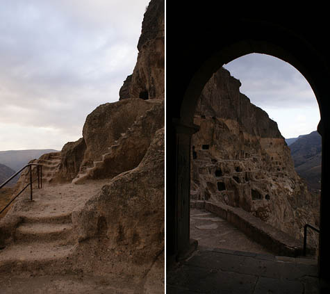
 [Images: Vardzia, as seen in some
  [Images: Vardzia, via