 [Image: The shadow of the San Andreas Fault emerges near sunset at Wallace Creek; photo by BLDGBLOG].
All four long-term readers of BLDGBLOG will know that I am obsessed with the San Andreas Fault, teaching an entire class about it at Columbia and visiting it whenever possible as a hiking destination.
The San Andreas is often a naturally stunning landscape—particularly in places like Wallace Creek, Tomales Bay, or even the area near Devil’s Punchbowl—but the fault’s symbolism, as the grinding edge of two vast tectonic plates, where worlds slide past one another toward an unimaginable planetary future, adds a somewhat mystical element to each visit. It’s like hiking along a gap through which a new version of the world will emerge.
I was thus instantly fascinated several years ago when I read about something called the Walker Lane, a huge region of land stretching roughly the entire length of the Eastern Sierra, out near the California/Nevada border, which some geologists now believe is the actual future edge of the North American continent—not the San Andreas. It is an “incipient” continental margin, in the language of structural geology.
 [Image: My own sketch of the Walker Lane, based on Google Maps imagery].
In fact, the Walker Lane idea suggests, the San Andreas is so dramatically torqued out of alignment at a place northwest of Los Angeles known as the “Big Bend” that the San Andreas might be doomed to go dormant over the course of several million years.
That’s good news for San Franciscans of the far future, but it means that a world-shattering amount of seismic strain will need to go somewhere, and that somewhere is a straight shot up the Eastern Sierra along the Walker Lane: a future mega-fault, like today’s San Andreas, that would stretch from the Gulf of California, up through the Mojave Desert, past Reno, and eventually back out again to the waters of the Pacific Ocean (most likely via southwest Oregon).
Much of this route, coincidentally, is followed closely by Route 395, which brings travelers past extinct volcanoes, over an active caldera, within a short drive of spectacular hot springs, and near the sites of several large earthquakes that have struck the region over the past 150 years.
That region—again, not the San Andreas—is where the true tectonic action is taking place, if the Walker Lane hypothesis is to be believed.
 [Image: The gorgeous Hot Creek Geologic Site, along the Walker Lane; photo by BLDGBLOG].
In an absolute dream come true, I was able to turn this armchair obsession of mine into a new feature for Wired, and it went online this morning as part of their May 2019 issue.
For it, I spend some time out in the field with Nevada State Geologist James Faulds, a major proponent of the Walker Lane hypothesis. We visited a fault trench, we hiked along a growing rift southeast of Pyramid Lake, and we met several of his colleagues from the University of Nevada, Reno, including geodesist Bill Hammond and paleoseismologist Rich Koehler.
I also spoke with early advocates of the Walker Lane hypothesis, particularly Amos Nur and Tanya Atwater, both of whom have been suggesting, since at least the early 1990s, that something major might be in store for this under-studied region.
 [Image: Coso Volcanic Field, near where the Eastern California Shear Zone meets the Walker Lane; photo by BLDGBLOG].
The Wired story is almost entirely focused on the science behind discovering the Walker Lane, from GPS geodesy to LiDAR, but there are also a few scattered thoughts on deep time and the vast imaginative horizon within which geologists operate. This comes mostly by way of Marcia Bjornerud’s new book Timefulness. There is also a brief look at indigenous seismic experience as allegedly recorded in Native American petroglyphs along the Walker Lane, via an interesting paper by Susan Hough.
But, on a more symbolic level, the Walker Lane totally captivates me, including how vertiginous and exciting it is to think about—let alone to hike along!—a new edge to the known world, a linear abyss emerging in the desert outside Los Angeles, slowly rifting north through hundreds of miles of dead volcanoes and disorganized fault lines, gradually pulling all of it together into one clear super-system, flooding with the waters of the Gulf of California, bringing a new version of the Earth’s surface into being in real-time.
In any case, check out the piece over at Wired if any of this sounds up your alley. The piece includes some great photos by Tabitha Soren.

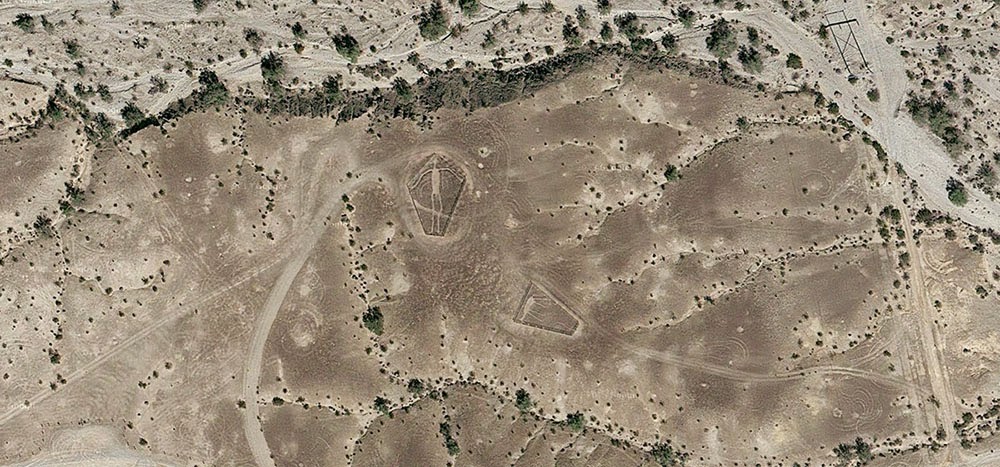 [Image: The “
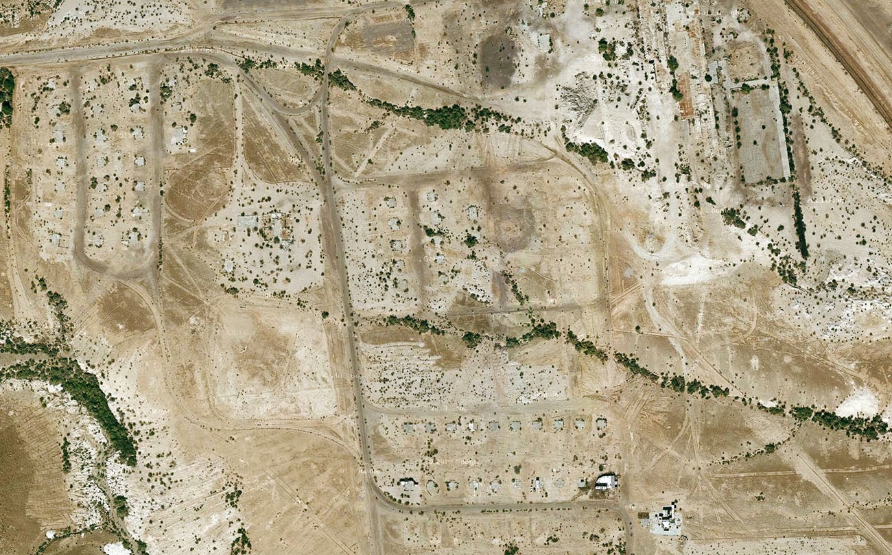 [Image: Midland, California, via
 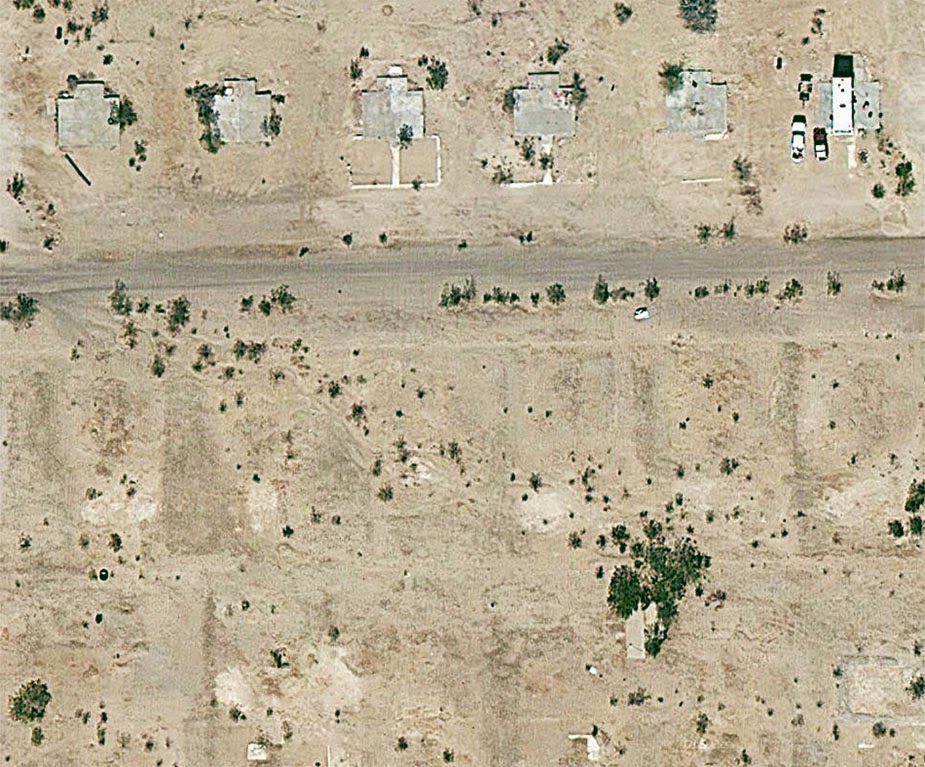 [Image: Midland, California, via
 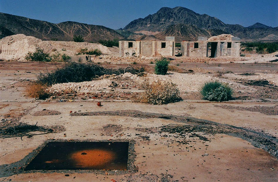 [Image: The abandoned streets of
  [Image: Midland, California, via