
In a fascinating detail from a long series of articles published two years ago in the Washington Post, recently expanded as a stand-alone book called Top Secret America, we learn about one way to hide classified government infrastructure in plain sight.
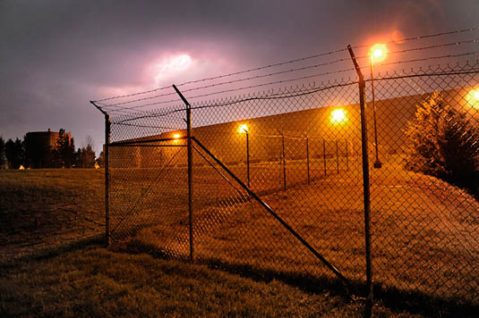 [Image: Photo by Michael S. Williamson, courtesy of The Washington Post].
“[J]ust outside Washington,” authors Dana Priest and William Arkin explain, in the exurbs of depopulated office parks and “huge buildings with row after row of opaque, blast-resistant windows,” there can be found what the authors describe as “the capital of an alternative geography of the United States, one defined by the concentration of top-secret government organizations and the companies that do work for them.”
One such complex, called Fort Meade, “is the largest of a dozen such clusters across the United States.”
And it is cleverly camouflaged:
The existence of these clusters is so little known that most people don’t realize when they’re nearing the epicenter of Fort Meade’s, even when the GPS on their car dashboard suddenly begins giving incorrect directions, trapping the driver in a series of U-turns, because the government is jamming all nearby signals.
It’s an experiential trap street—an infinite loop—a deliberate cartographic error introduced into the mapping of the world so as to sow detour and digression. A kind of digital baffling, or recursive geography as state defensive tactic.
I’m also curious when we might see this privatized and domesticated—gated communities, for instance, blocking the GPS navigation of their streets in the misguided belief that this will help protect them from future burglary, effectively delisting themselves from public cartographic records. Perhaps the future of neighborhood security lies in the privatized repurposing of advanced signal-jamming technology, the misleading lamination of other, false maps onto the streets as they really exist.
(Detail spotted via @doingitwrong and [thisisaaronland]).